Vancouver Island’s mountains, isolated coastlines, and vast stretches of uninhabited land give it much of its beauty, but they also make an efficient road trip difficult. Most major roads run along the east side: Highway 19 travels south from the island’s north to Nanaimo, while the Trans-Canada Highway continues from Nanaimo to Victoria. From Victoria, Highway 14 follows the north shore of the Strait of Juan de Fuca through Sooke, Shirley, Jordan River, and Port Renfrew, the route we had driven the day before.
Wanting to see more of the island’s remote west coast, we took one of the few paved roads that reaches it. Highway 4, or the Pacific Rim Highway, winds from the port town of Port Alberni alongside Sproat Lake before crossing a mountain pass toward Kennedy Lake. From there, you enter the coastal flats of Vancouver Island’s west coast, where Pacific Rim National Park Reserve is located. Driving along the coast, we would eventually reach the small logging and fishing towns of Tofino and Ucluelet, both now transformed by tourism.
Cathedral Grove
Packing up our campsite alongside the Cowichan River, we headed north passed the ferry terminal at Nanaimo, and turned onto the first section of Highway 4, known as the Alberni Highway. We made a brief stop at Cameron Lake in hopes of spotting its local lake monster, known as “Cammie,” but instead of the mysterious creature, we found only tall stands of old-growth forest covering the two mountains that confine the elongated lake. Burn scars from that summer’s Wesley Ridge Fire stretched across the top of the mountain opposite us, nearly 800 metres above the lake, which served as another eerie reminder of just how frequent fires are happening in BC and how close they get to critical infrastructure that people rely on.
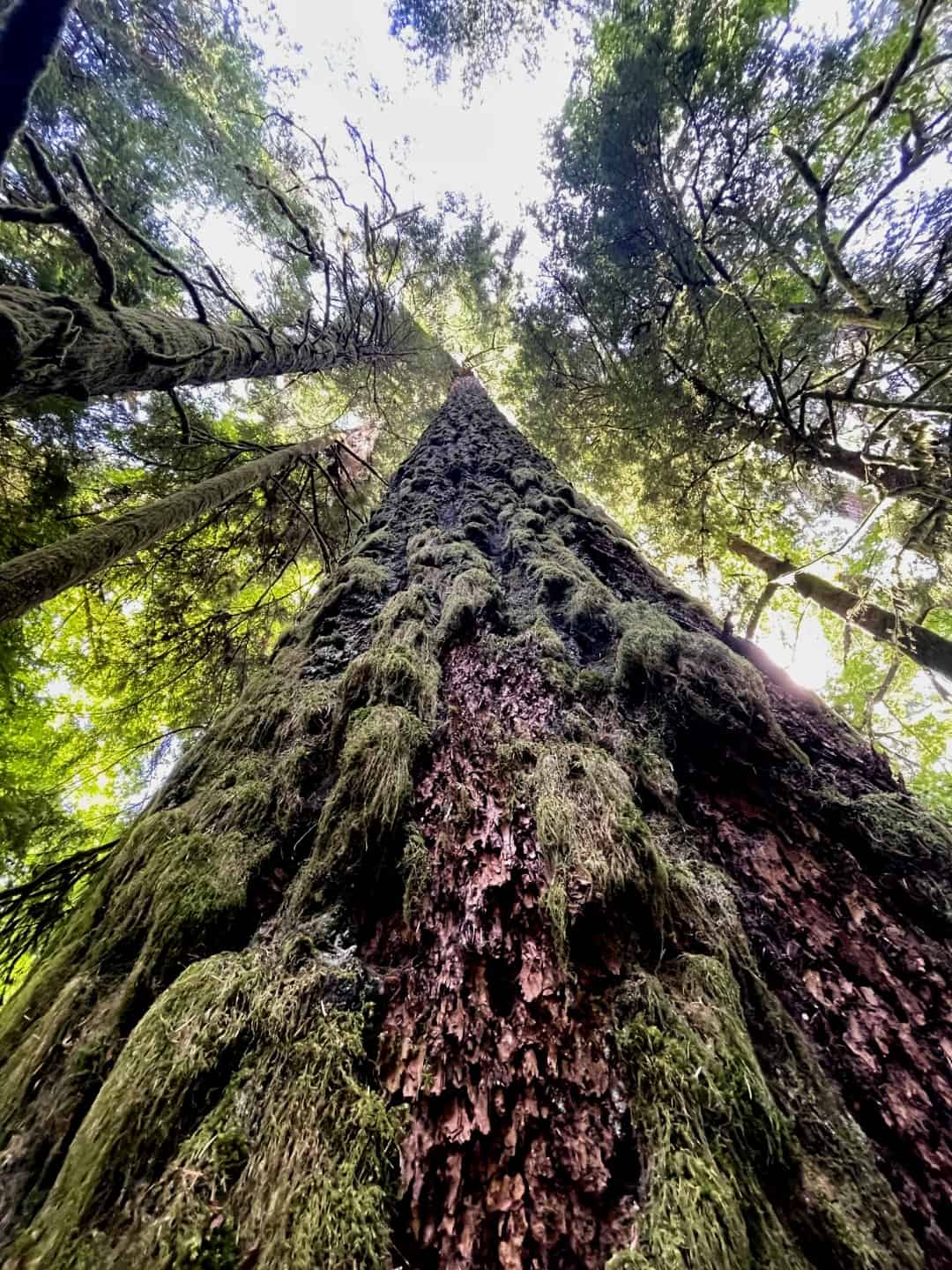
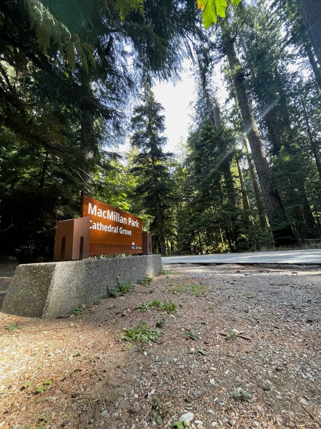
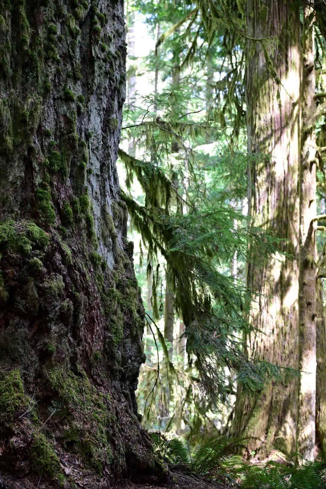
At the far end of the lake, we stopped again at Cathedral Grove, a short trail system through surviving old-growth forest in MacMillan Provincial Park. Western red cedar, western hemlock, and Douglas-fir—some believed to be more than 800 years old—make up this small, easily accessible park. This pocket of coastal temperate rainforest was donated to the province in 1944 to preserve its natural wonders from logging. However, occasional glimpses of the nearby fire-scarred Wesley Ridge between the 80-metre-tall trees made us wonder how long this ancient forest could remain protected on a warming planet.
Port Alberni
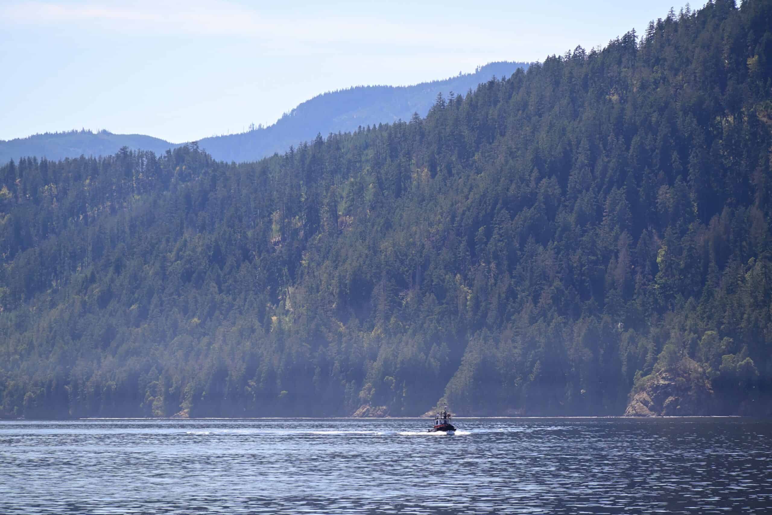
From here, we crossed what is known as the Hump—a name given to a twisting stretch of road that climbs Port Alberni Summit, a ridge separating the east coast from the island’s interior. Arriving in the logging town of Port Alberni, we made a brief stop and walked along the beautiful Alberni Harbour Quay. Despite the town’s location 60 kilometres from the island’s west coast, a long, narrow inlet connects it to the open waters of the Pacific. Speaking with a local, we learned that the waterfront commonly attracts seals, dolphins, and even the occasional whale. Signs of the town’s prominent logging industry could be found everywhere, but despite that presence, the town had clearly become a popular destination for outdoor adventures such as hiking, kayaking, and mountain biking.
Highway 4 and Wally Creek
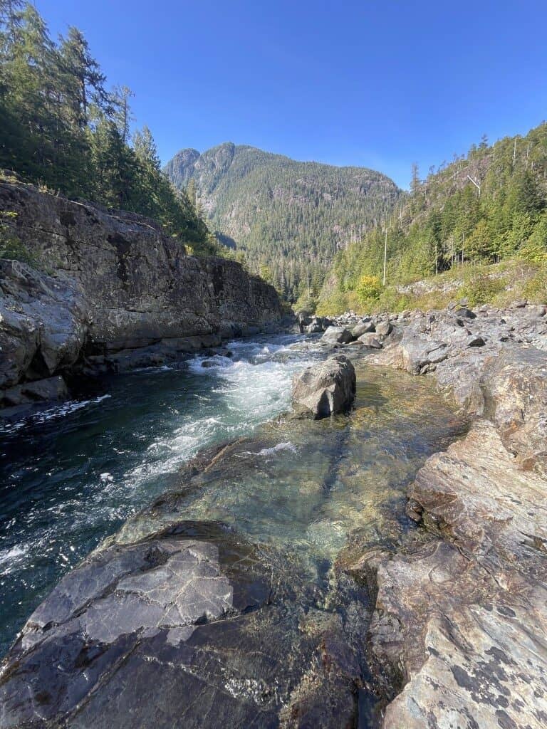
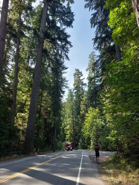
Continuing west on Highway 4, we passed alongside Sproat Lake before beginning to climb once again. As we climbed through winding roads and steep inclines, we passed between Pogo Mountain on the right and Adder Mountain on the left. Beyond the top of the pass, the road began to follow the Kennedy River as it meandered through lakes and wetlands, occasionally cascading through narrow canyons and carving into the mountainsides.
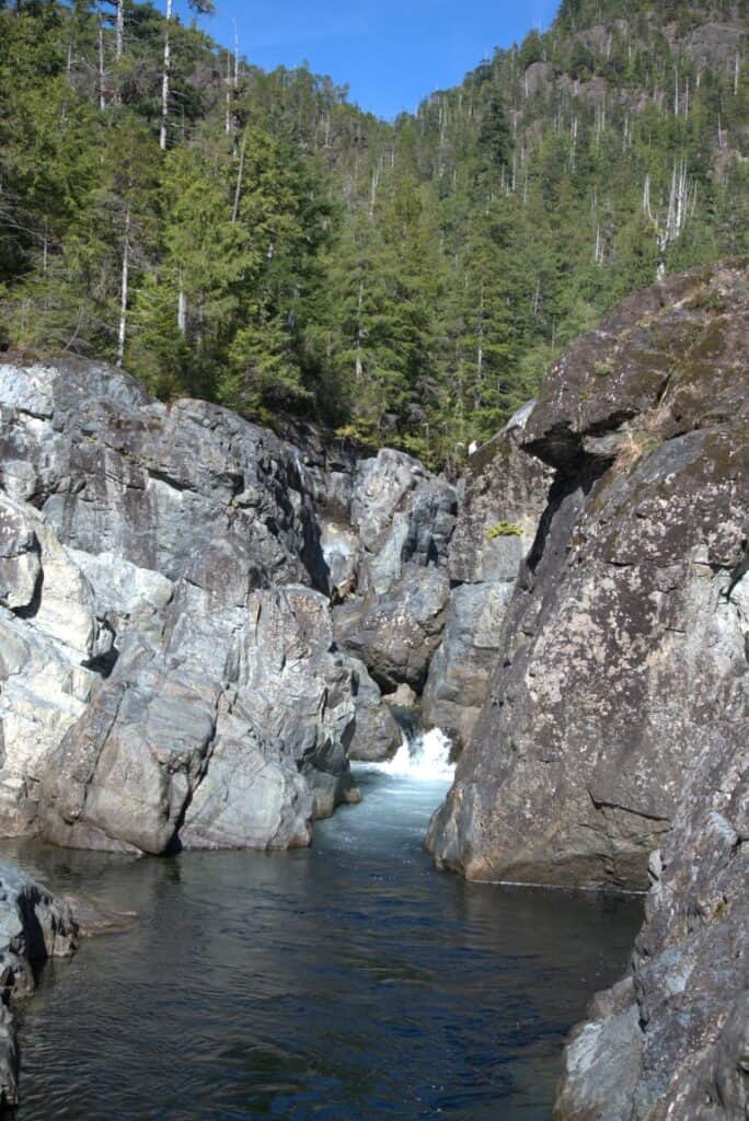
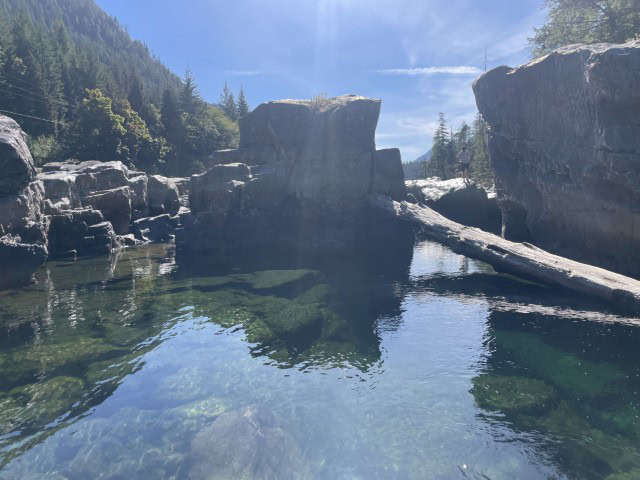
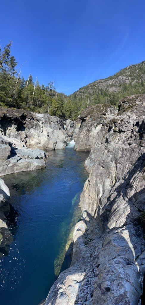
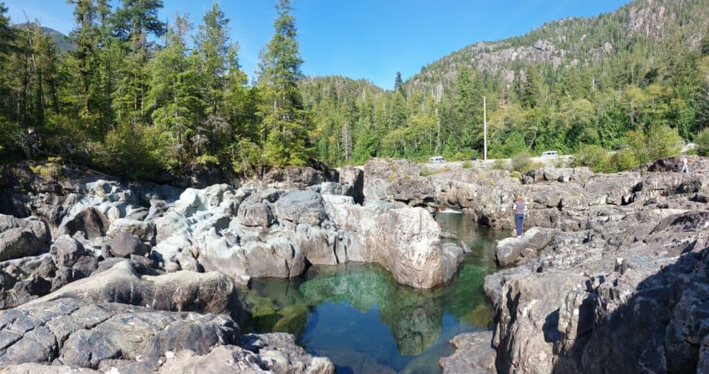
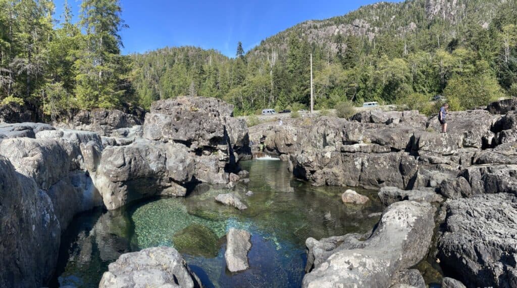
As we skimmed the edge of Clayoquot Plateau Provincial Park, we parked in a pull-off area at the Wally Creek Potholes and Swimming Hole. Although the mountain river’s water was too cold for swimming, its beauty was unparalleled. Flowing from its mountainous interior headwaters toward Kennedy Lake on the coast, the rushing river is confined to a narrow slot canyon only a few metres wide. As it twists through the gorge, large potholes carved by the water form perfectly circular swimming holes. While exploring the area and its unique geomorphic features, we were joined by many others, suggesting that the site is well visited.
Across the river, Clayoquot Plateau Provincial Park stretches inland to a high-elevation plateau, where Steamboat Mountain (1,477 metres) stands alongside Limestone Peak. Exposed limestone throughout the park has produced many unique karst landforms as it slowly erodes under surface water. Among these features are several cave systems found throughout the plateau.
Agreeing that we would return to explore the area, we hopped back in the car and continued our drive to the Pacific Ocean and the coastal communities of Ucluelet and Tofino.
Pacific Coast
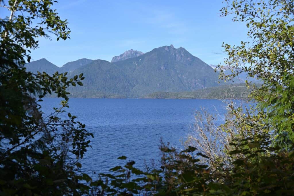
Descending from the mountains, we passed along the west side of Kennedy Lake, Vancouver Island’s deepest lake, before the terrain flattened and we found ourselves once again driving along the coast.
Although the road reaches Ucluelet first, we turned north and began the drive to Tofino. Surrounded by dense temperate rainforest, we occasionally caught glimpses of snow-covered mountains on our right and far-reaching sandy beaches on our left. Most of the road lies within Pacific Rim National Park Reserve, a 500-square-kilometre area that protects the region’s iconic beaches and natural beauty.
Tofino
Formerly a small outport settlement reliant on fishing and logging, the town has since been transformed into one of British Columbia’s adventure-tourism hotspots. Signs of its early history can still be found in its architecture and layout, with well-maintained but aging buildings and narrow piers stretching into the water along the waterfront. Despite our arrival in mid-September, the place was crawling with Volkswagens packed with camping gear, Subarus carrying kayaks, and converted adventure vans. Needless to say, we felt quite at home.
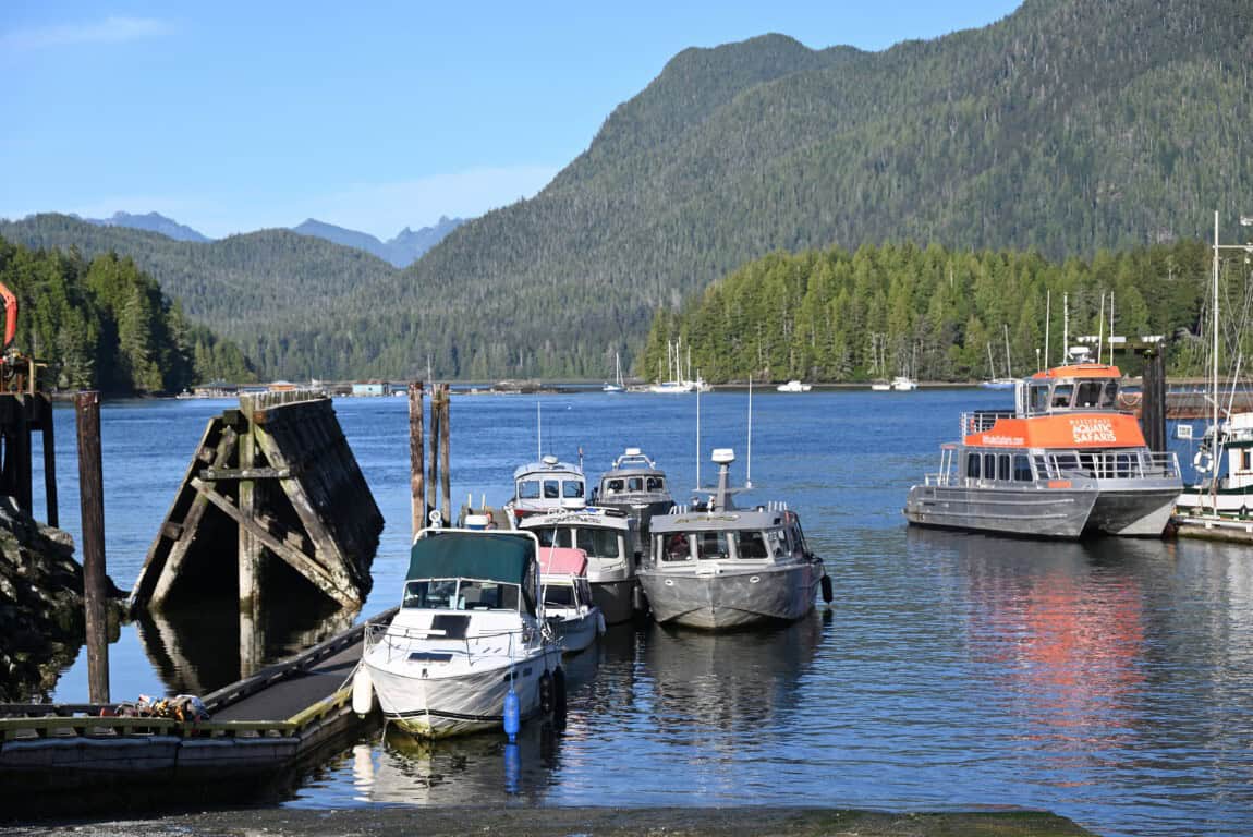
It was difficult to tell where the town began, as tall trees and thick forest blocked our view of houses and hotels set well back from the road. As we neared the end of Highway 4, the trees cleared, and, in addition to finally finding the town centre, we discovered that roads running parallel to the shoreline provided great views of Clayoquot Sound, a large Pacific inlet protected by a chain of islands and beaches.
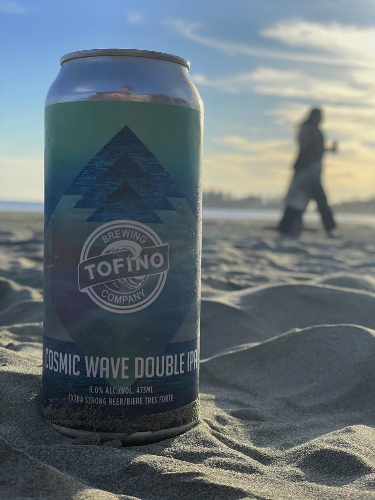
We took our time driving through Tofino and photographing the waterfront before escaping the crowds and backtracking toward Long Beach, with one quick stop at Tofino Brewing Company along the way.
Long Beach
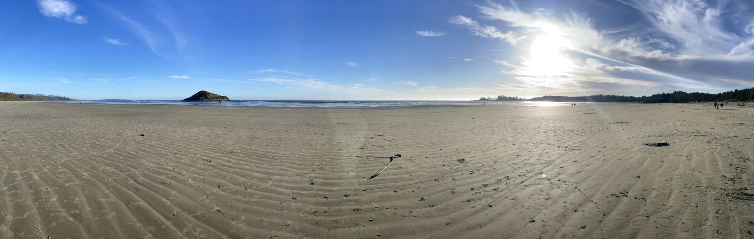
Tofino and Pacific Rim National Park Reserve are known for many aspects of their scenery, including snow-capped mountains, wildlife-filled waters and rivers, and numerous isolated destinations. Without a doubt, however, their most popular attractions are the postcard-worthy beaches between Tofino and Ucluelet to the south.
The largest of these beaches begins near Tofino Airport, approximately 10 kilometres south of town, and extends 13 kilometres farther south. Comprising several beaches, including Schooner Cove, Combers Beach, and Wickaninnish Beach, the long strand is most easily accessed at the aptly named Long Beach.
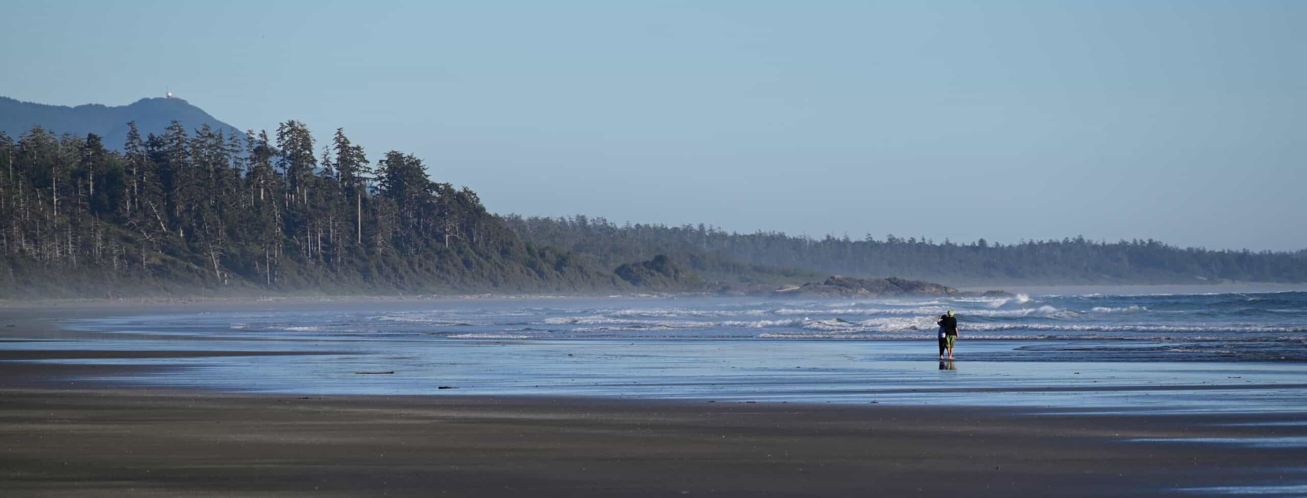
Parking can be difficult, and although there are numerous parking areas, they are known to fill quickly during peak season. We were surprised by the number of vehicles parked there as dusk approached, but we found a space, grabbed a small bag, and settled into a quiet spot on the sand to watch the sunset.
Ucluelet Camping and Brewing
Not knowing where we would end up at the close of the day, we avoided booking a campsite until we were leaving Tofino, a luxury that likely does not exist during the busy summer months. After the sun dipped out of view, we continued south and arrived at Ucluelet Campground, conveniently located in the centre of the town of the same name.
Like Tofino, Ucluelet was once centred on logging and fishing before eventually transforming into a tourism destination. The town’s protected harbour and forest-covered peninsula have helped the area thrive with new cottages, condos, motels, and recreational boating. Remnants of its former forestry and fishing industries have been reimagined as rental properties, craft stores, cafés, and restaurants.
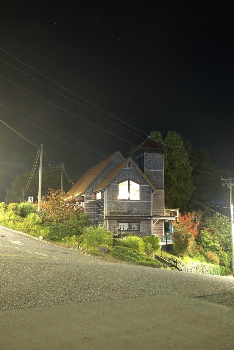
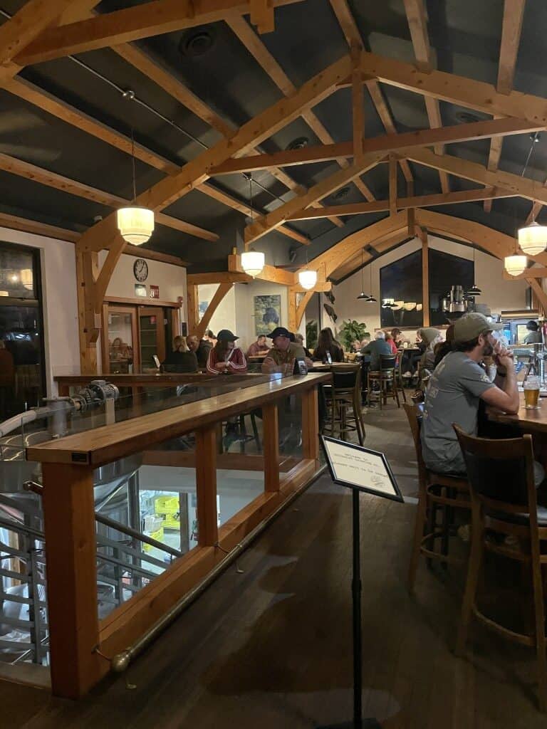
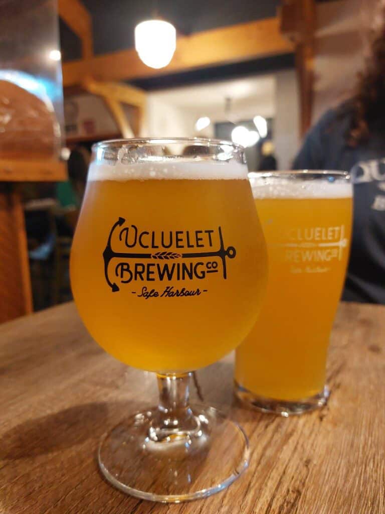
We arrived at our campsite well after dark and set up our tent for the night. In need of supper, we walked into town to St. Aidan on the Hill Church, a converted church that is now home to Ucluelet Brewing Company. Boasting exquisite woodwork while retaining the character of the former church’s architecture, the brewery has given the historic landmark a second life. We wouldn’t learn this until after leaving, but the church’s cornerstone, laid on August 3, 1952, was sourced from rocks near Cape Spear, Newfoundland, a welcome homage back to home.
In a small town like Ucluelet, we had expected to find traditional pub-style food but were pleasantly surprised by a mix of Mediterranean, Middle Eastern, and Caribbean dishes. After eating, we took one last sip of beer before returning to our campsite for the night.