
In early September, we ventured on a three-day road trip around Vancouver Island. While anyone would tell you that this is nowhere near enough time to fully appreciate the island, it is enough time to fall in love with it. We rented a car at Vancouver Airport, travelled to the island via the Tsawwassen–Victoria ferry, followed the southern coast through Sooke and Port Renfrew, crossed to Tofino and Ucluelet, and returned to the mainland through Nanaimo and Horseshoe Bay. The route offered a concentrated introduction to some of the best scenery, hiking, history, and adventure British Columbia has to offer.
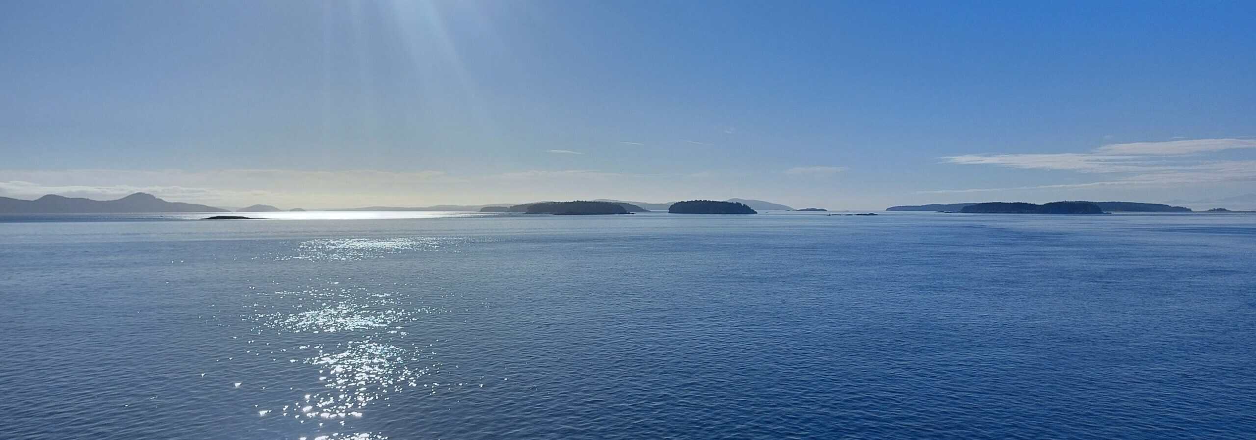
While we might be veteran ferry passengers at this point, we joined the throngs of excited tourists and families taking in the sunshine on the top deck and watching several humpback whales and an untold number of seals greet us as we made our way across the Strait of Georgia. The area has long been recognized for its biodiversity, offering thriving habitats and ecosystems on which countless forms of marine life rely. In a way, it is incredible that the waters here are still so rich in biodiversity as we also saw a steady parade of oil tankers and cargo ships making their way through the distant islands, heading to and from Vancouver. About halfway through our journey, the open waters were replaced by narrow channels and islands as we entered the Gulf Islands. The ferry didn’t seem to slow as we wove our way around the forested hills, rocky shoals, and lighthouses of the pass. An hour and a half after departing, the ship navigated its way into the terminal at Swartz Bay.
Victoria
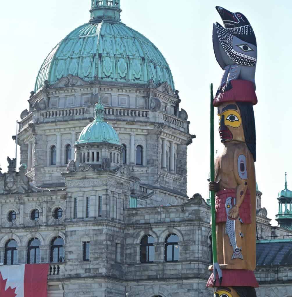
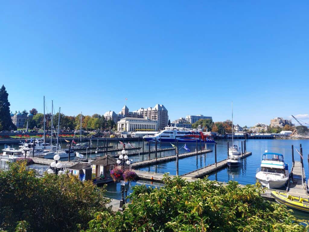
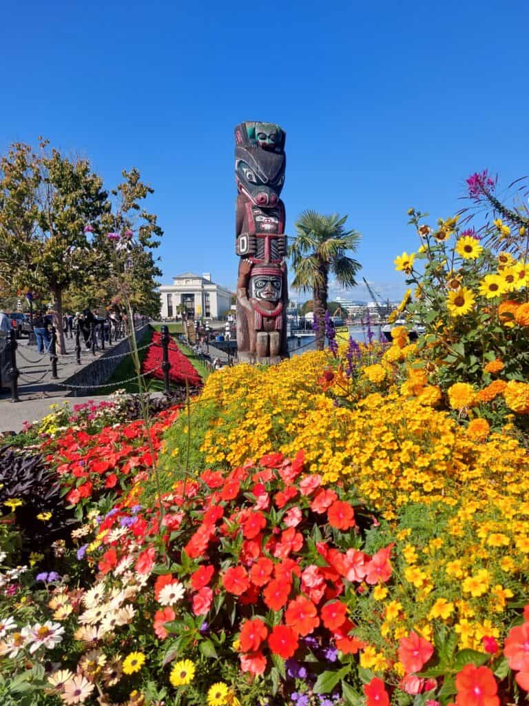
Our first stop was for coffee and breakfast in Victoria. Known as the “City of Gardens,” Victoria is B.C.’s capital city. Its location in the protected waters of the Strait of Juan de Fuca has long made the city a hub for trans-Pacific shipping and seafaring. Although railways and land connections eventually led to Vancouver overshadowing it in many ways, Victoria retained its status as the provincial capital and became a tourism hub for both the island and the province.
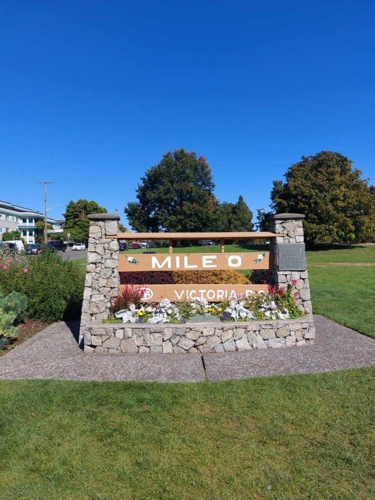
Parking downtown across from the B.C. Legislature Building, we walked along the vibrant waterfront, filled with locals and tourists taking in the sights, restaurants, and craft shops. After doing the same ourselves, we hopped back in the car and drove around the peninsula on which most of downtown is located. After taking a photo of the Mile 0 sign for the Trans-Canada Highway, a unique throwback to our trip two weeks earlier, when we were at the other Mile 0 in St. John’s, Newfoundland, we drove west toward the town of Sooke.
With a lot of miles to go yet, we agreed to come back again when we could to spend more time exploring Victoria’s historic and cultural sites. Scott was particularly sad to miss the neighbouring Esquimalt, home to Canada’s Pacific naval fleet, and which contain remnants of military structures used to defend the harbour through two centuries of war. Like so many others, it’s been added to our “next time” list.
Sooke Potholes Regional Park
After a wrong turn that brought us alongside the beautiful Saanich Inlet, including views of the Malahat SkyWalk, we continued to Sooke and its famous Potholes Regional Park. The park encompasses part of the Sooke River, where, over thousands of years, large, well-defined holes and tunnels have been carved into the riverbed. Known as potholes, these formations are the result of large boulders being rotated and shaken by the river’s rushing water, slowly carving nearly perfect circles. In some cases, these holes are only several feet in diameter; in others, they form large, incredibly deep pools that provide the perfect place for swimming. The geology might have brought Scott to the park, but it was the swimming that enticed Lindsay. Flowing from frigid headwaters in the neighbouring mountains, she said the river was freezing but refreshing.
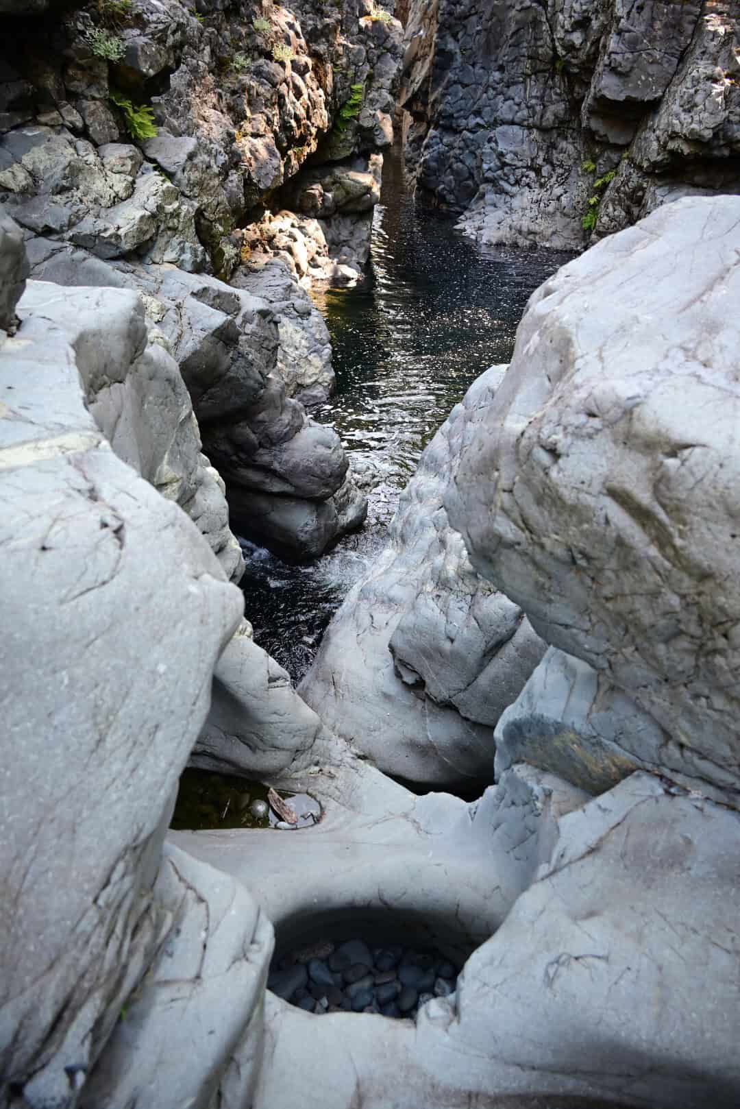
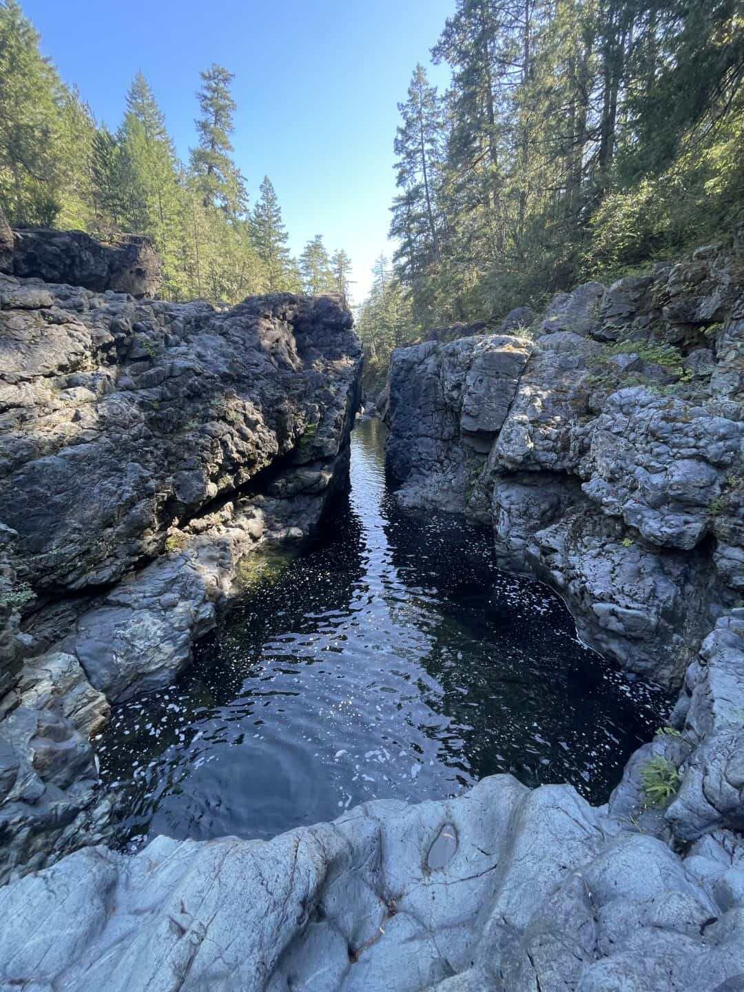
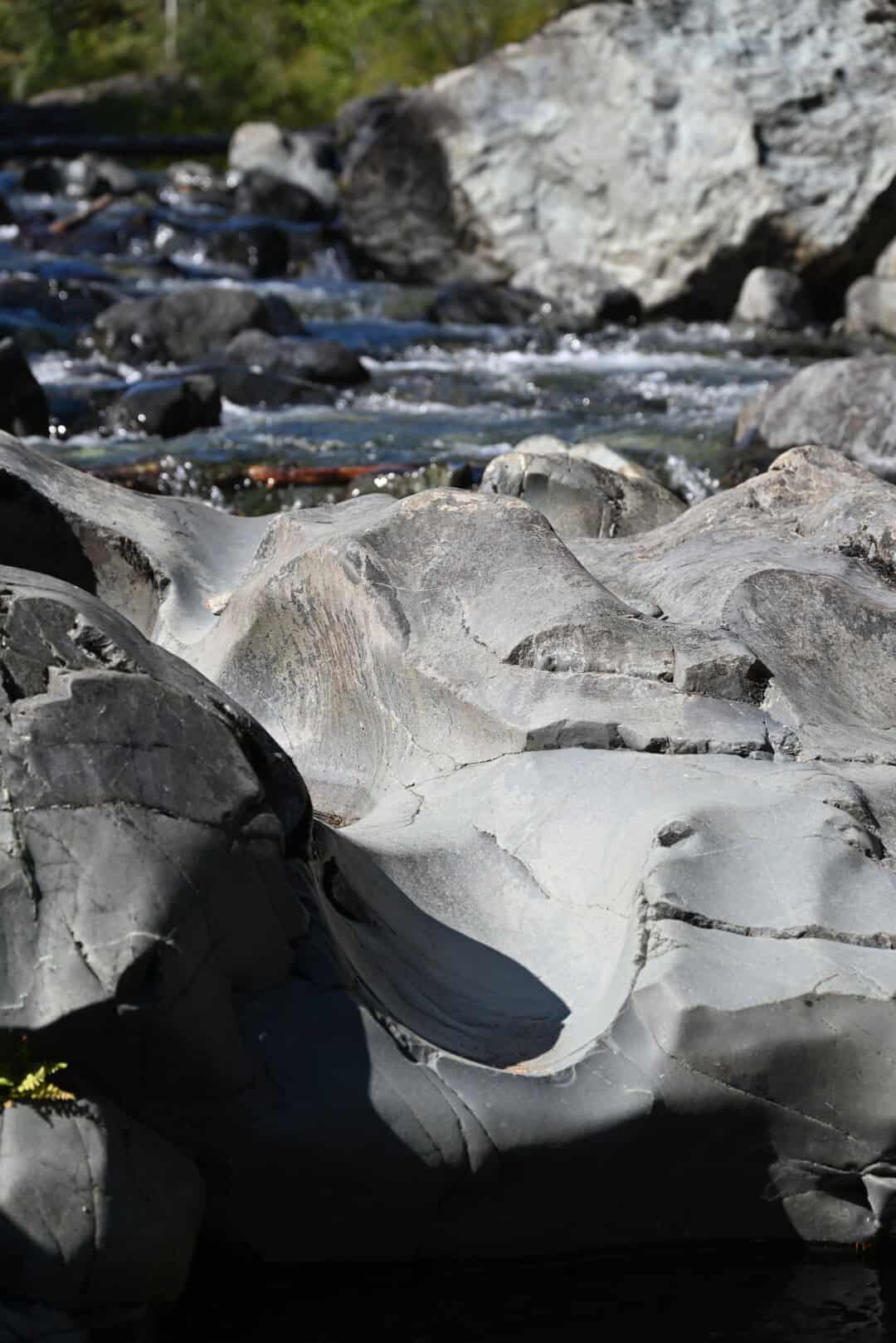
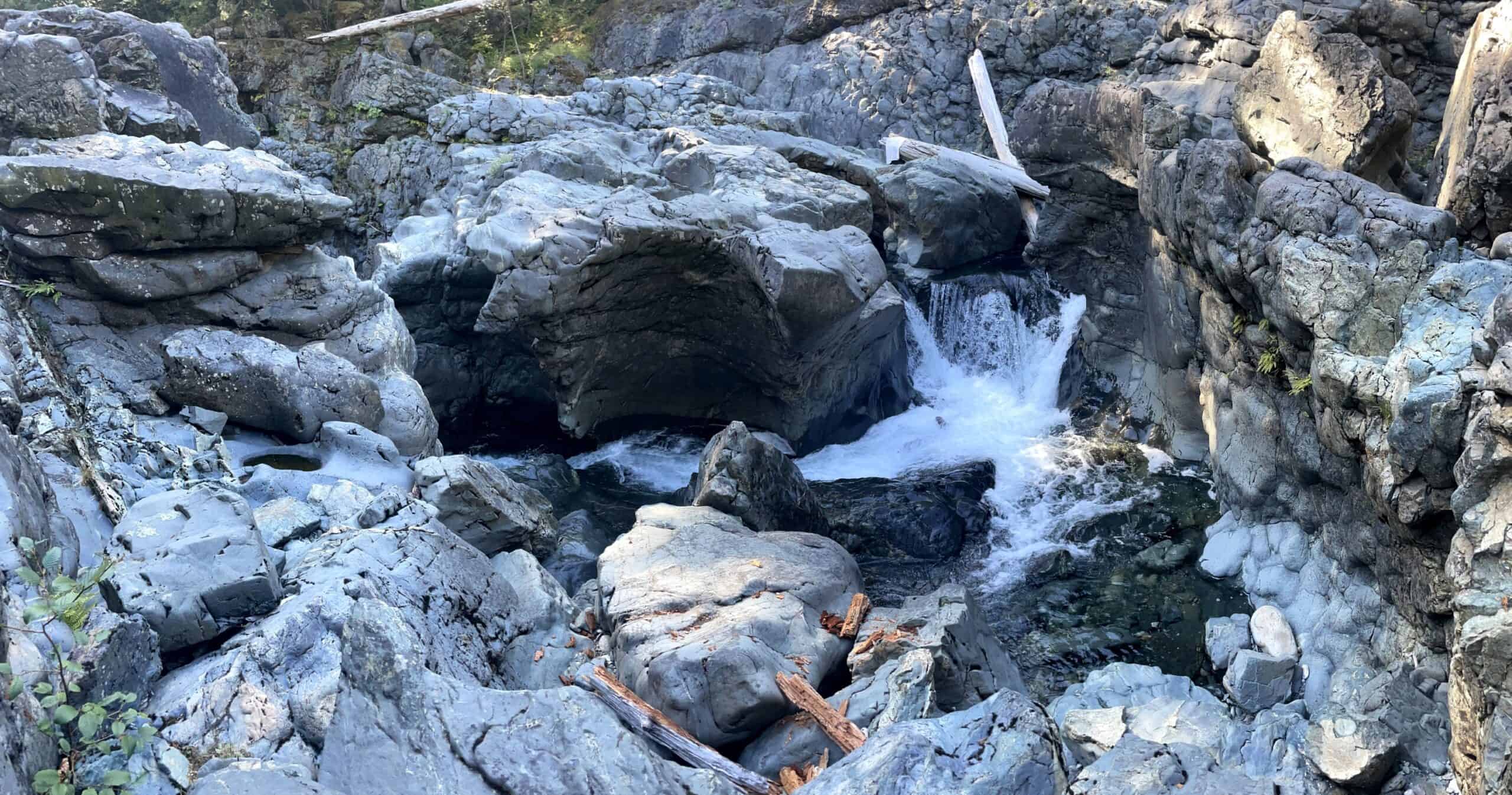
A road and an old railway line follow the river inland from Sooke, loosely tracing the river itself. These sites are encompassed by the park, which has three parking lots (1, 2, and 3). In recent years, the park operators have introduced paid parking, which, judging by the many comments online, has not been popular among locals. While it may not be ideal for residents, as tourists we were happy to pay the fee and hike the trails.
Each parking lot places you closer to a different section of the river. Following recommendations online, we parked in Parking Lot 3 and hiked about 500 metres north along the trail before reaching the perfect swimming spot. Alternatively, we could have parked in Parking Lot 1 or 2, but that would have required a steeper hike to reach the river below.
Ruins of Deertail Resort
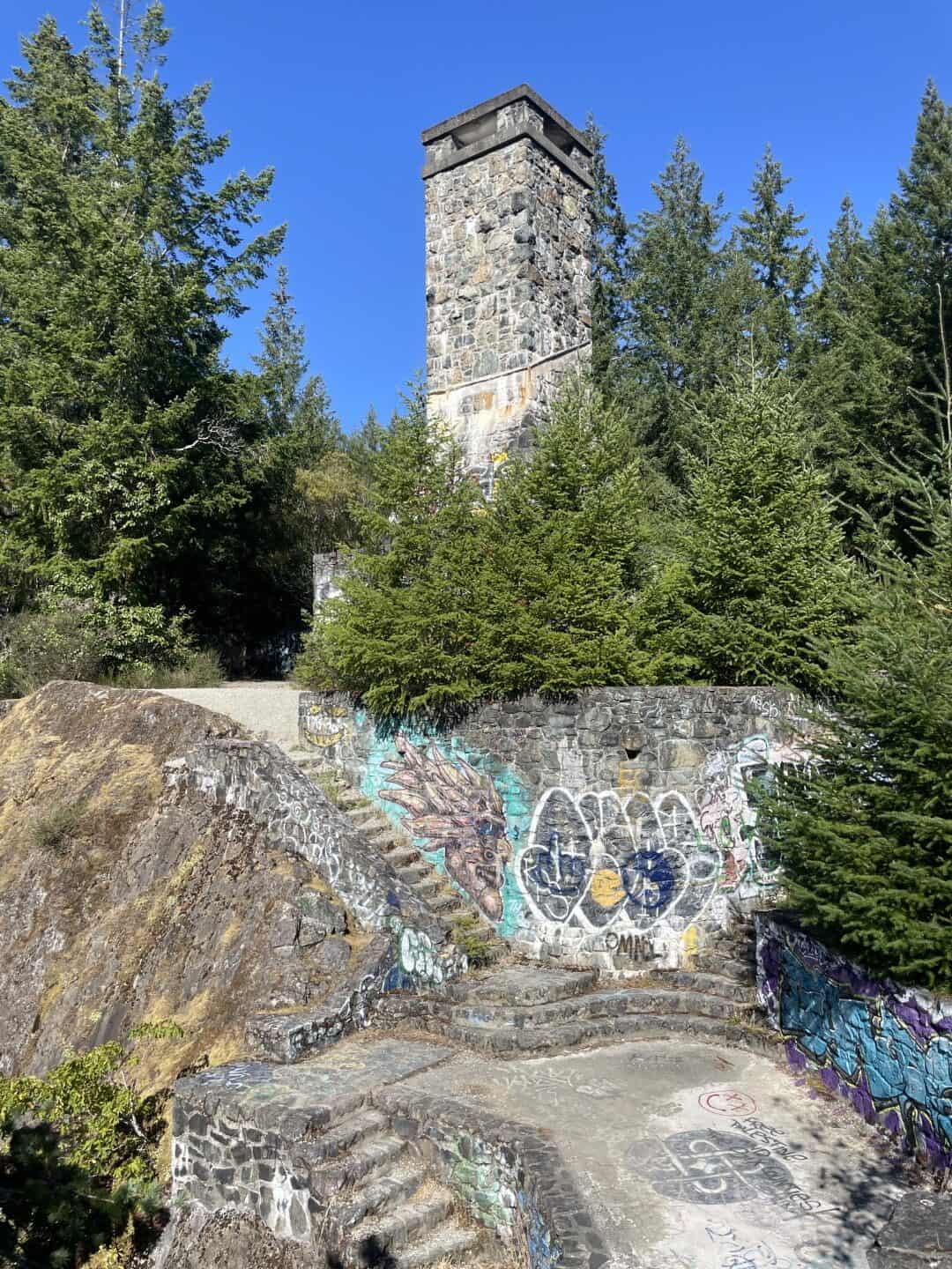
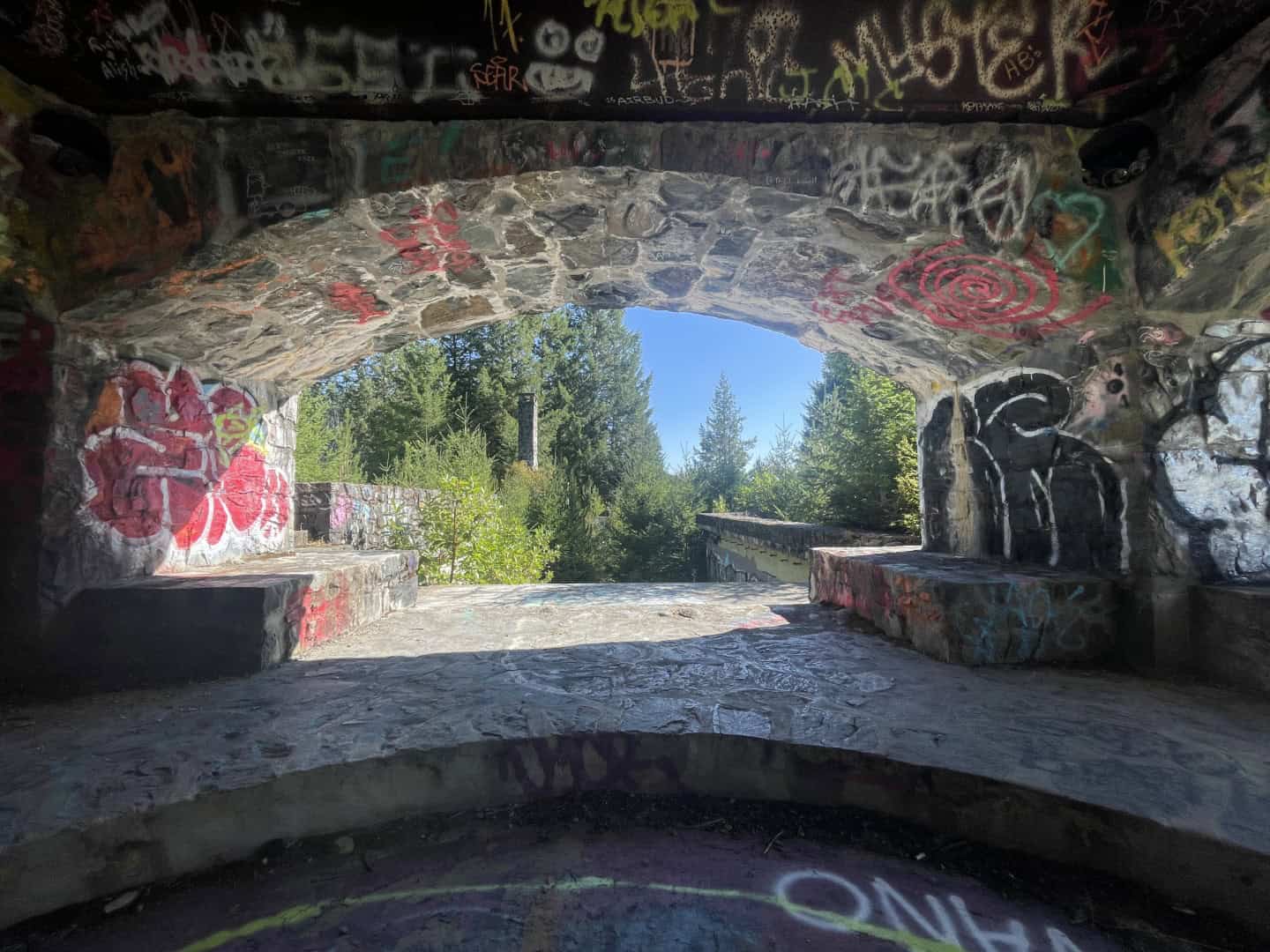
Along the road on the way back down, it is easy to miss the ruins of the former Deertail Resort, perched above the Sooke River gorge. The ruins are a complex of large chimneys, steep concrete staircases winding along the edge of a cliff, and a maze of cut-stone walls and foundations. The land was set to become an extravagant resort built by developer Albert Yuen. Yuen purchased the property and began construction, only to encounter financing difficulties before the resort was completed. Sadly, it was never finished and was eventually abandoned. In 2004, the land and its unfinished resort were incorporated into Sooke Potholes Regional Park. The intricate ruins and alluring stone chimneys made it a popular stop for curious visitors but as more people began visiting the crumbling cliffside site, park officials fenced off the area to deter visitors from exploring the dangerous ruins. With safety always top of mind when urban exploring, we took a quick peak and followed the river’s trail network to some incredible views of the ruins against a scenic backdrop of forest and river smoothed rocks.
Sooke to Duncan
Leaving Sooke Potholes Regional Park, we continued west on Highway 14. The road ebbs and flows with the coastline. Rocky headlands of dark volcanic rock and sandstone make up much of the shore, limiting the number of beaches but providing spectacular panoramic views of the Strait of Juan de Fuca and the Olympic Mountains across the water. Near the ocean, the air was cool and moist, while the water was calm. Dense fog lingered along the coast, repeatedly pushing inland before slowly retreating to sea.
The trees were breathtakingly beautiful and larger than anything we could have imagined. As we entered the Coastal Douglas-fir (CDF) ecozone, one of Canada’s rarest, Douglas-firs and western red cedars greeted us on either side of the road. Before venturing too far into this magnificent green world, we turned off Highway 14 and completed a short hike to Sheringham Point Lighthouse.
Sheringham Point Lighthouse
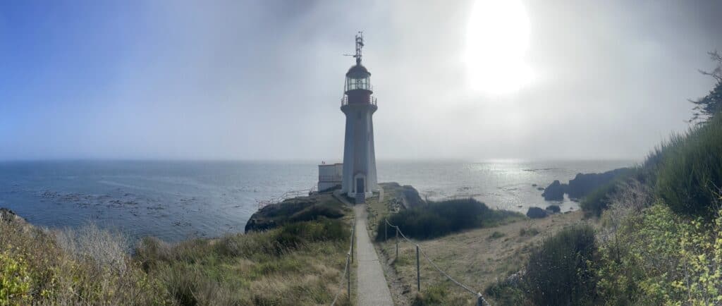
As shipping increased in the waters around Vancouver Island and the Strait of Juan de Fuca at the turn of the twentieth century, it became increasingly apparent that more navigational aids were needed along this stretch of coast. As a result, in October 1911, the federal government purchased land at Sheringham Point, and construction of the lighthouse began the following year. The result was a 20-metre, hexagonal lighthouse perched on a small rocky headland just metres above the surrounding Pacific Ocean. As we hiked the short trail to the water, we descended into a bank of fog that frequently covers the area. Although it limited our views, it certainly emphasized the need for the lighthouse in the first place.
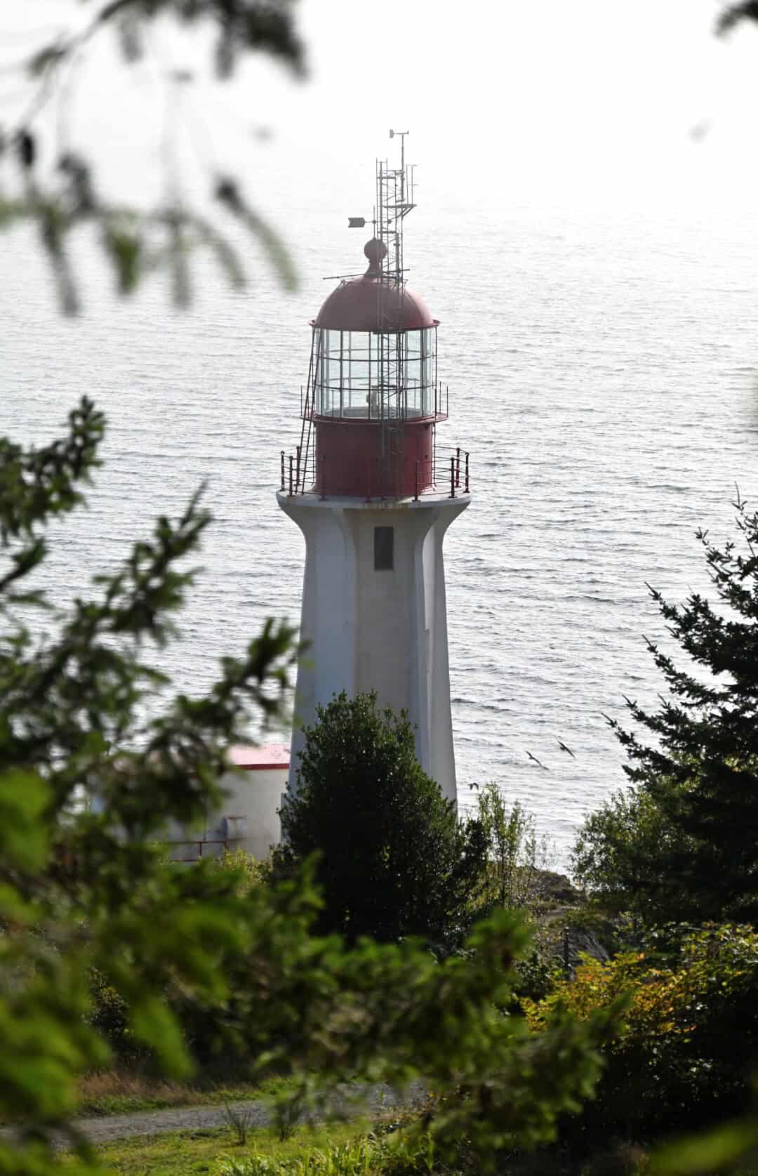
The lighthouse is operated by the Sheringham Point Lighthouse Preservation Society (SPLPS), which now preserves and maintains the site as a public coastal park. Near where the former lighthouse keeper’s house once stood, a small museum displays original lighthouse components and tells the site’s history through maps and interpretive panels. After wandering the grounds, the cold, damp fog crept into our bones, and we soon found ourselves hurrying back to the warmth of the car.
Jordan River Hydro Plant
As the road twisted and turned through the hills, we soon found ourselves in Jordan River, where we made a quick stop to see what we could of the former Jordan River Hydroelectric Station. This now-abandoned power station can be found in the overgrown forest near the community. We pulled into a small gravel parking lot just a metre or two above the beach and surf. This was slightly concerning because, on our drive there, we had received a tsunami watch after an 8.8-magnitude “megathrust” earthquake struck off the eastern coast of the Kamchatka Peninsula. The quake would later become known as the 2025 Kamchatka earthquake.
Putting caution aside for a moment, we ventured along the beach and decided to fly the drone over the hydro facility instead, respecting the many “No Trespassing” signs placed around the area by the Pacheedaht and Ditidaht First Nations. The remaining concrete shell of the former facility represents only one chapter in a long history of watershed destruction along the Jordan River. Mining, forestry, and hydroelectric dams have severely damaged the river’s ecosystems through contamination, human disturbance, and poor water-resource management. Since then, the Pacheedaht and Ditidaht First Nations have worked diligently to repair the ecosystem in the hope of restoring it to health.
For more information on the Jordan River watershed: https://jrwa.ca/history
Port Renfrew and Pacheedaht Beach
The road between here and the next town, Port Renfrew, is tree-lined and dotted with trailheads providing access to the Juan de Fuca coast and the 47-kilometre Juan de Fuca Marine Trail. By this time, the sun was getting precariously close to the horizon and, with hunger dominating our thoughts, we decided not to complete any of the hikes. For those travelling through, however, we would recommend the short hikes to Mystic Beach and Sombrio Beach and Waterfall. Those would have to wait; soon, we found ourselves eating at Haliwoods Fish & Chips, the best fish and chips of the trip!
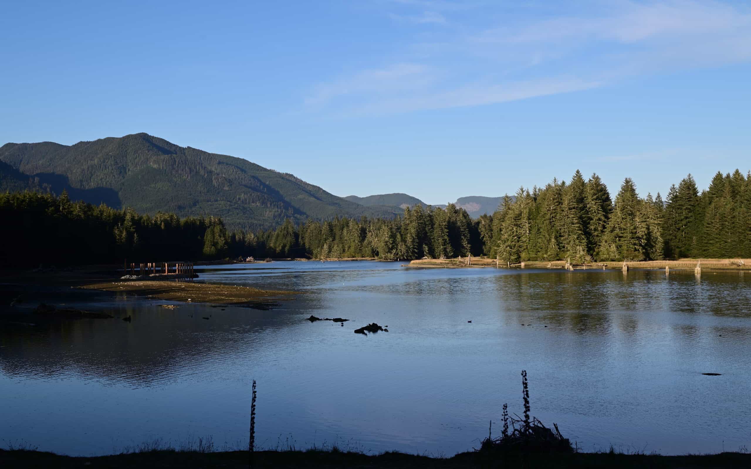
Port Renfrew is a place that stays with you. It sits at the end of a wide inlet known as Port San Juan. Forested hills enclose the harbour, which remained filled with boats and paddlers even as the sun disappeared. At its head, Pacheedaht Beach stretches across the full width of the inlet. Massive conifers, ranging from Sitka spruce and western hemlock to mighty Douglas-firs, tower behind the beach as you enter the San Juan River Estuary Ecological Reserve, an area considered part of one of the most productive temperate rainforests on Earth. Combined with the area’s beauty, isolation, and the many wonders hidden throughout the surrounding landscape, this made it a place worth revisiting—and one we would continue to talk about for some time. Then again, that was becoming a recurring sentiment as we continued to explore British Columbia.
We had contemplated staying at Pacheedaht Campground, a small campsite located on the beach itself, but, wanting to position ourselves better for the following day, we left the coastline and continued along Pacific Marine Road toward Lake Cowichan.
Harris Creek Spruce Recreation Trail
From the moment we set foot in our first Airbnb in suburban Richmond, we were, for lack of a better term, flabbergasted by the size and height of the trees in British Columbia. Coming from a place known for its twisted, stunted tuckamore trees, which barely reach heights of more than two or three metres, it was inevitable that any Newfoundlander or East Coast Canadian would feel this way. But we hadn’t seen anything yet. As the trees continued to climb, we found ourselves in the part of Canada that contains nearly all of its record-holding and otherwise significant trees. These included Canada’s largest red spruce, located on the south side of Red Creek, and the old-growth forest of Eden Grove, where the famous Big Lonely Doug towers over a clear-cut hillside. Looking for a quick stop to witness these trees for ourselves, we pulled off the road at the Harris Creek Spruce Recreation Trail.
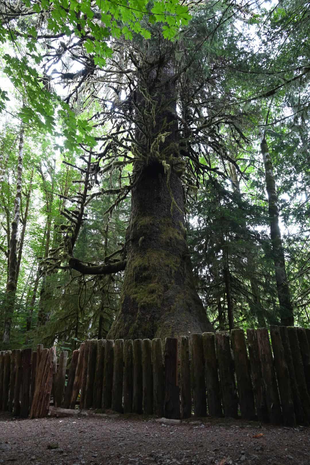
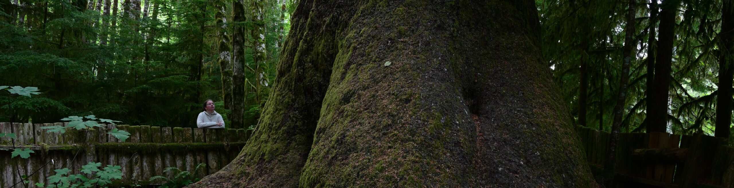
Not far past Port Renfrew, we pulled off to the side of the road and started a short hike into the Harris Creek Spruce Recreation Area. At the end of the trail stands the Harris Creek Sitka spruce, an 82-metre-tall tree with a circumference of about four metres. It is the last remnant of the ancient old-growth forest that existed here before the area was first commercially logged in 1893. Even those early loggers must have felt the same astonishment we did, sparing it while clear-cutting the rest of the valley. Whatever the reason, the tree now towers over its much younger neighbours, which would themselves dwarf anything we had ever seen before. We spent longer than planned beneath the moss-draped branches of the Sitka spruce and soon found ourselves struggling to see as the sunlight faded. Heading back to the car, we continued to our campsite for the night at Cowichan River Campground.
For a map and directions to the Port Renfrew area’s notable trees: https://ancientforestalliance.org/wp-content/uploads/2024/06/2024-Port-Renfrew-Big-Tree-Map-Directions-8-5×11-1.pdf
Cowichan River Campsite
By the time we reached Cowichan River Campground, darkness had settled over the valley. We set up camp beneath the trees and listened to the river moving nearby, a welcome contrast to the long hours spent on the road. After a day filled with ferries, coastal fog, historic ruins, and towering old-growth forest, the quiet campsite gave us a chance to slow down and take stock of everything we had already seen.
It was a simple end to a packed first day. We turned in knowing that the next morning would take us north toward Nanaimo before carrying us west across the island to the Pacific coast.


