
Waking to the pitter-patter of raindrops on the tent, we were not too worried about drying things before packing up, as it was our last day in British Columbia. Granted, in the hours ahead we would find ourselves soaked and dirty and we didn’t know it yet, but we would not get completely dry again until arriving home in Halifax 30 hours later.
After grabbing coffee and a breakfast sandwich at Barkley Café, one of the many quaint cafés the town has to offer, we made our way back north and turned off Highway 4 onto Radar Hill Road, approximately 6.5 kilometres past the Tofino–Long Beach Airport intersection. A parking lot at the beginning of the road marked our trailhead. With the rain easing, we began our hike south along a paved cycling trail parallel to Highway 4 before reaching a narrow, forested path leading into the thick temperate rainforest.
Hiking Radar Hill
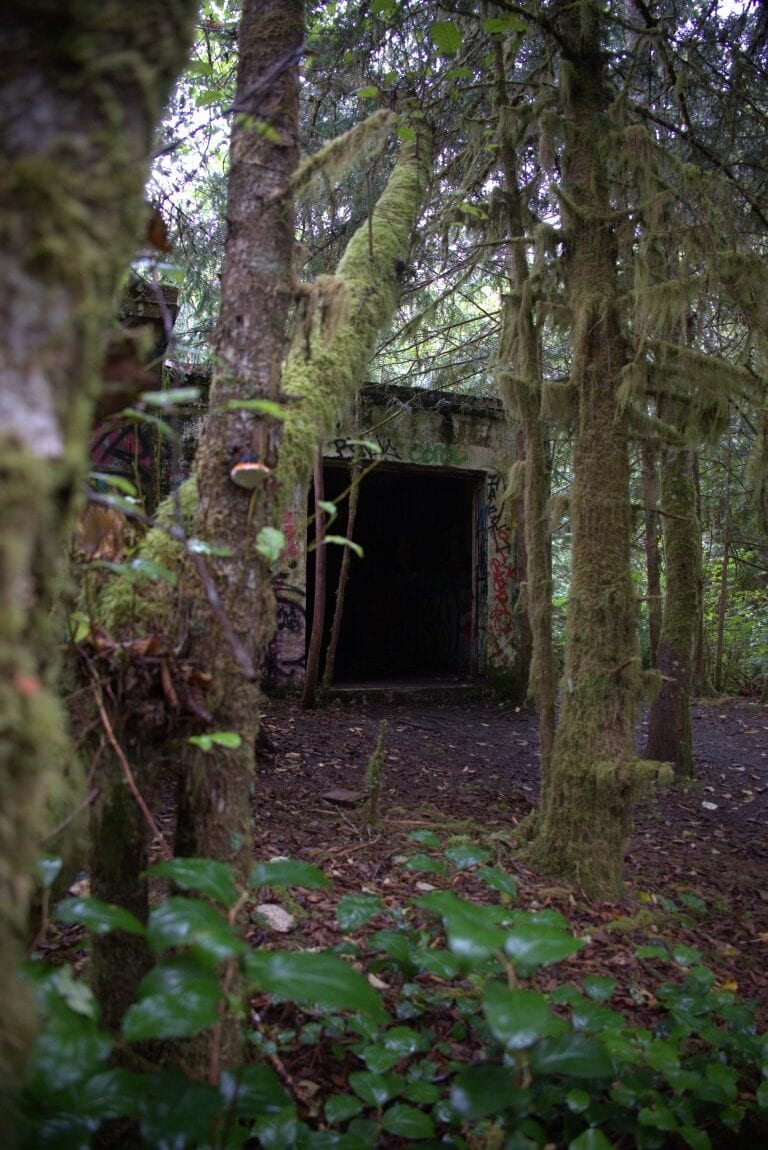
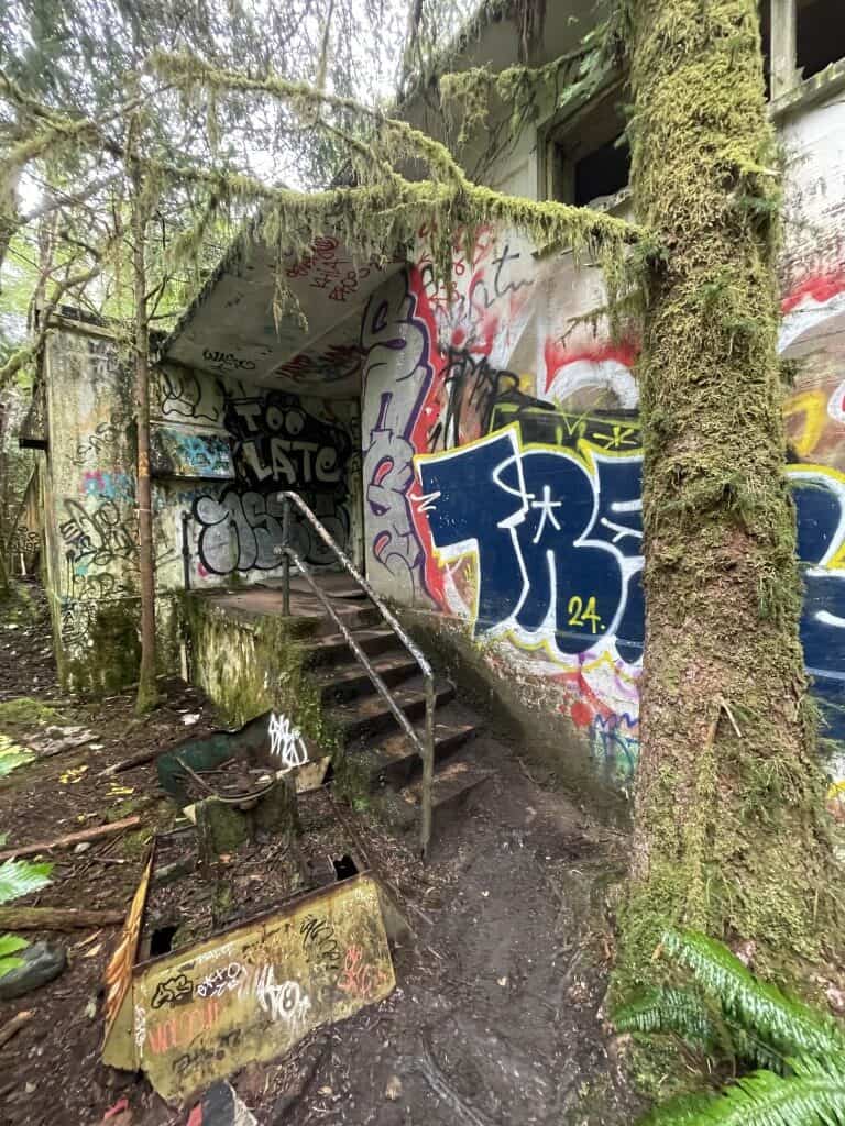
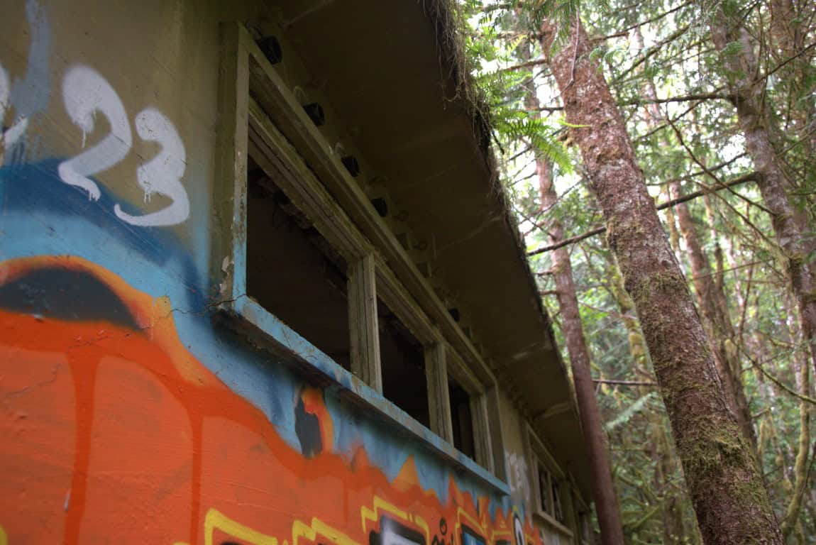
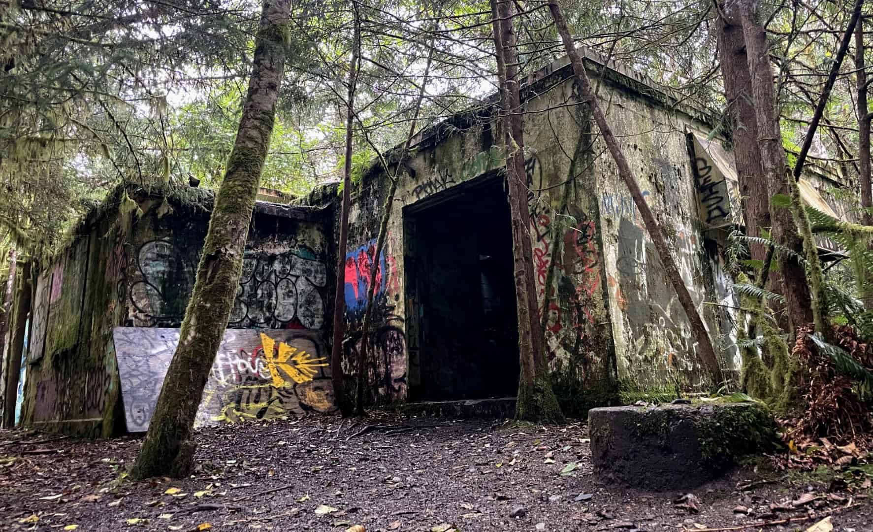
Our destination was the wreckage of a Second World War-era PBV-1A Canso transport plane that crashed into a nearby hillside in 1945. The trail wound uphill before ending at an abandoned concrete building, presumably some kind of radio transmitter station. Thick moss and brush covered the building, camouflaging it against the hillside. Venturing inside, we explored several rooms laden with garbage and debris before moving on.
Canso Plane Crash
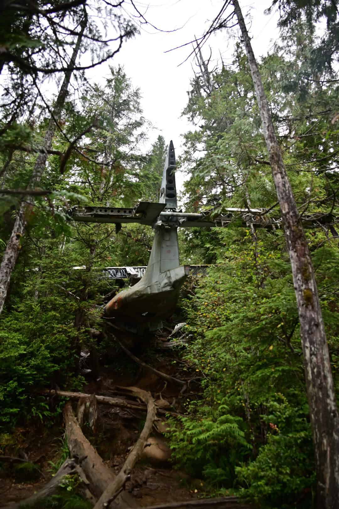
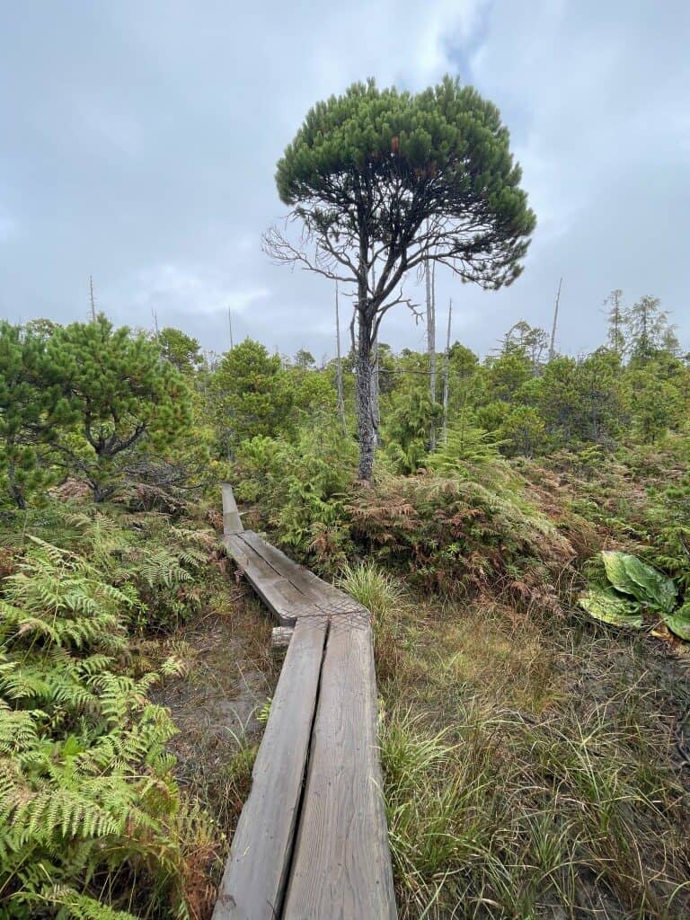
Beyond the aging structure, the trail became much narrower, resembling a proper hiking trail rather than an old road. Despite being clearly defined, it could be tricky to navigate as it wound through coastal forest and crossed bogs and wetlands, particularly for anyone who was not an avid hiker. Thankfully, we managed to stay mostly dry because past explorers had placed wooden planks across the wetter spots. The final bog approached the crash-site hill from behind, allowing us our first glimpse of the aircraft’s tail before we entered a wooded area where the rest of the fuselage was exposed.
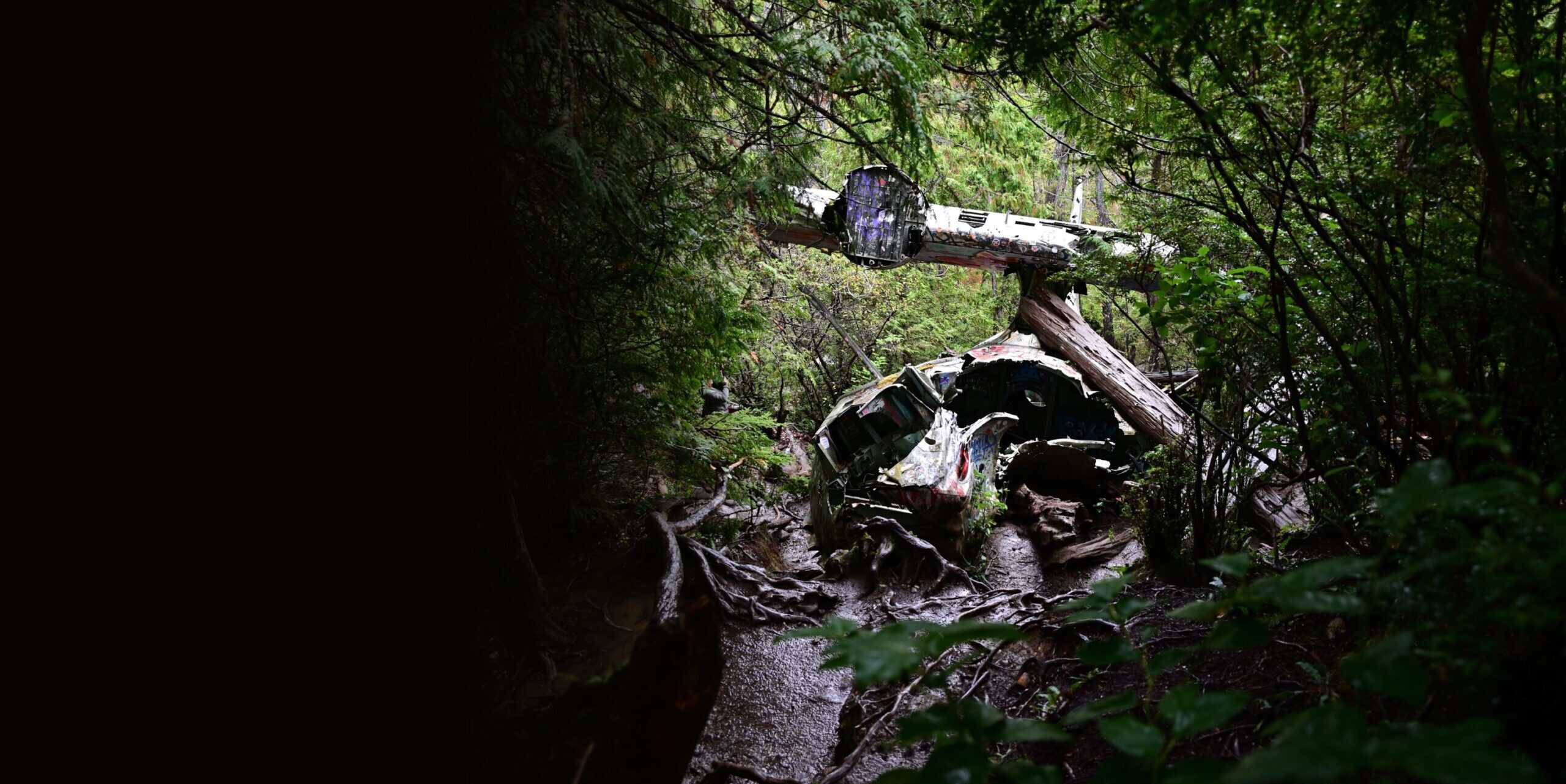
In 1945, the plane served with No. 6 Bomber Reconnaissance Squadron, based at Coal Harbour, B.C. An increased need for submarine patrols led to the temporary assignment of the aircraft and its crew to Tofino. On February 10, it took off from nearby RCAF Station Tofino carrying 12 personnel, 3,400 litres of fuel, and four anti-submarine depth charges. Soon after takeoff, the left engine failed and the aircraft began losing its limited altitude. With no time to spare, 20-year-old pilot Ronnie Scholes brought it into a controlled stall and set it down on a nearby hillside.
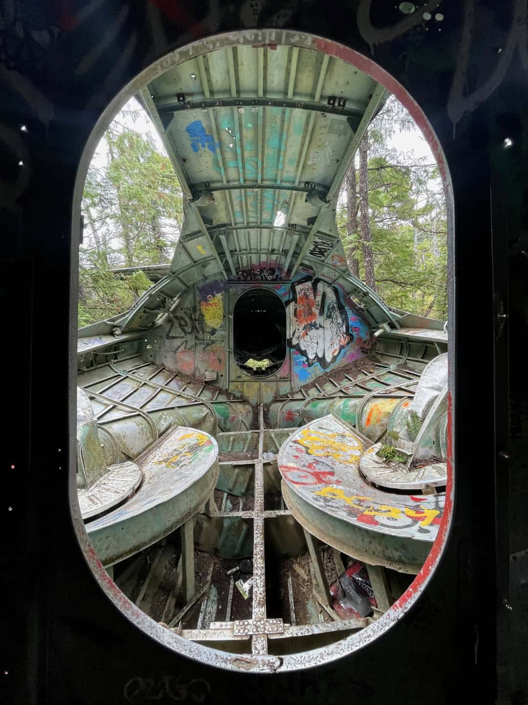
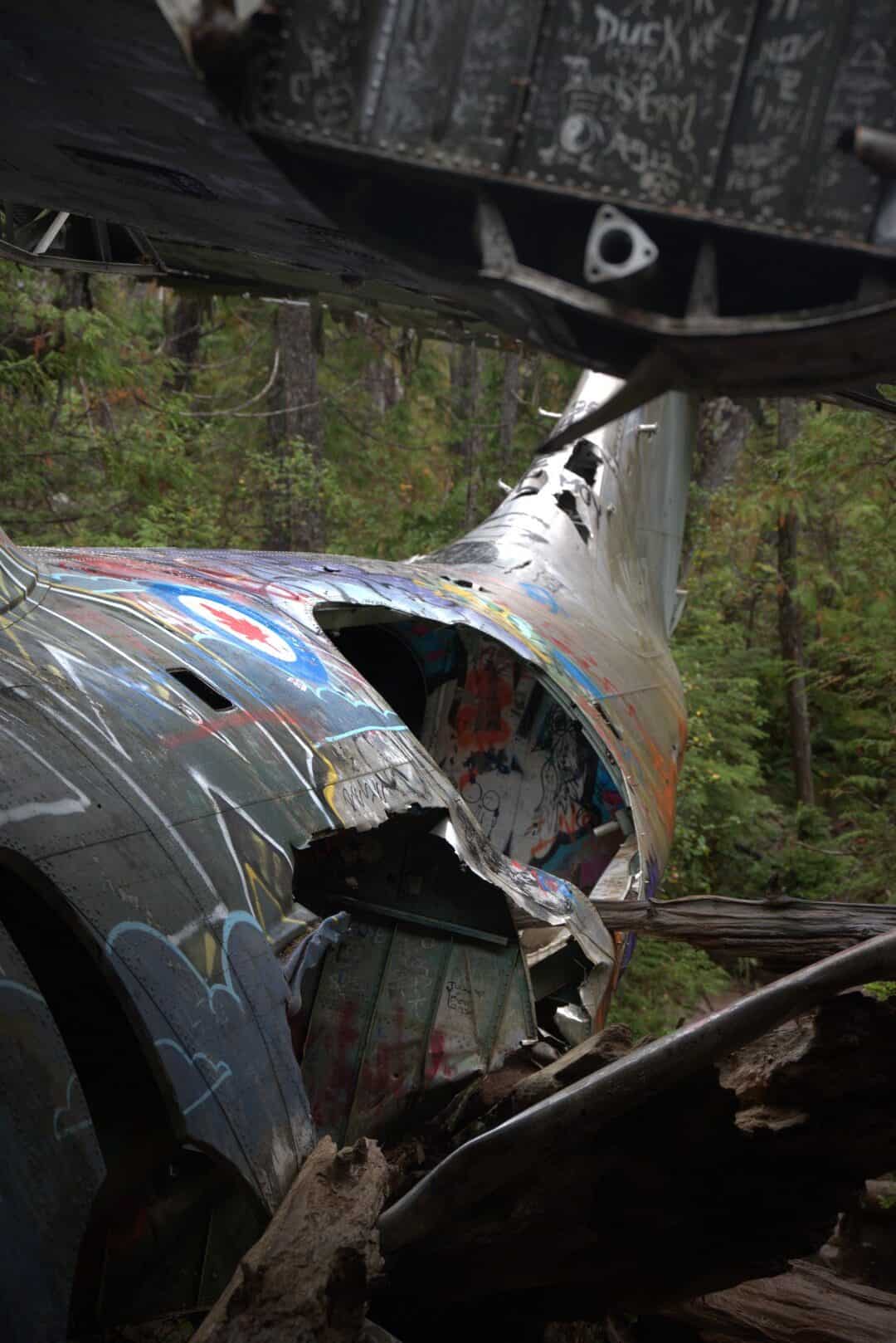
The landing was anything but gentle: trees tore parts of the aircraft apart, yet Scholes’s quick thinking saved everyone on board. Because the damage was too extensive to justify salvaging the plane, the wreckage was left behind. As we turned the final corner, we came upon the partly intact fuselage protruding from the forested hillside, surrounded by engines, wing sections, and countless fragments of twisted aluminum.
Although the war itself never affected Canada as it did many other places around the world, the site is a reminder of the dangers and risks faced by those defending the country while still on Canadian soil. As with any aircraft wreckage site, the graffitied aluminum fuselage and the striking sight of the aircraft’s tail fin make for a sombre yet intriguing scene. Beaten paths surround the aircraft, providing access to all sides.
Making our way out, we hopped into the rental car and took one last side trip to the top of Radar Hill. The hill is said to offer some of the finest views in the area, but a steady sprinkle of rain left us with only thick fog. It was not just the views that drew us to the hillside, however, but also its history as a former (you guessed it) radar station. Established during the Second World War, the site tracked and monitored enemy vessels and aircraft over the Pacific. At the time, the area was not accessible by vehicle, so an airfield and small town were established at what is now Tofino–Long Beach Airport. After the war, the site was shut down before being reopened in 1955 as part of the North American Pinetree Line network, a system of radar and early-warning stations that stretched across Canada. As our short visit confirmed, only a few concrete foundations remain atop the hill today.
After failing to get any useful pictures in the dense fog, we began our trek back to Nanaimo, where we were scheduled to depart Vancouver Island for the mainland later that night.
Little Qualicum Falls
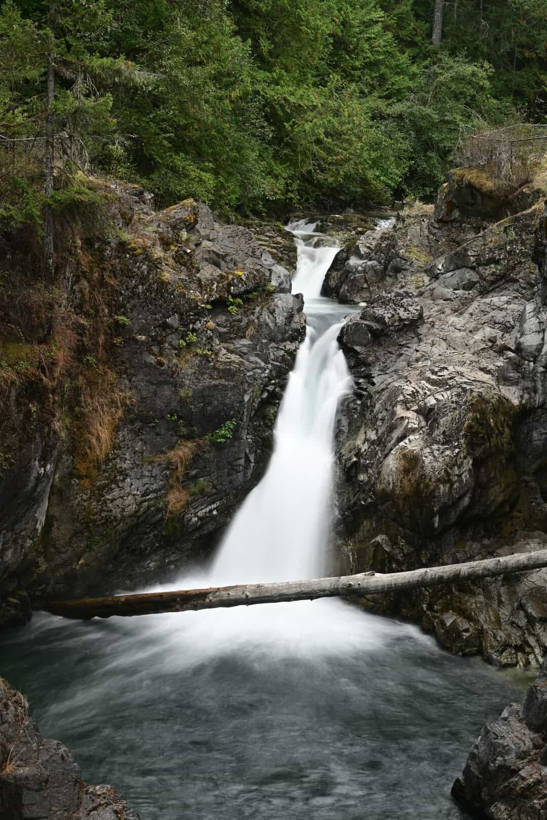
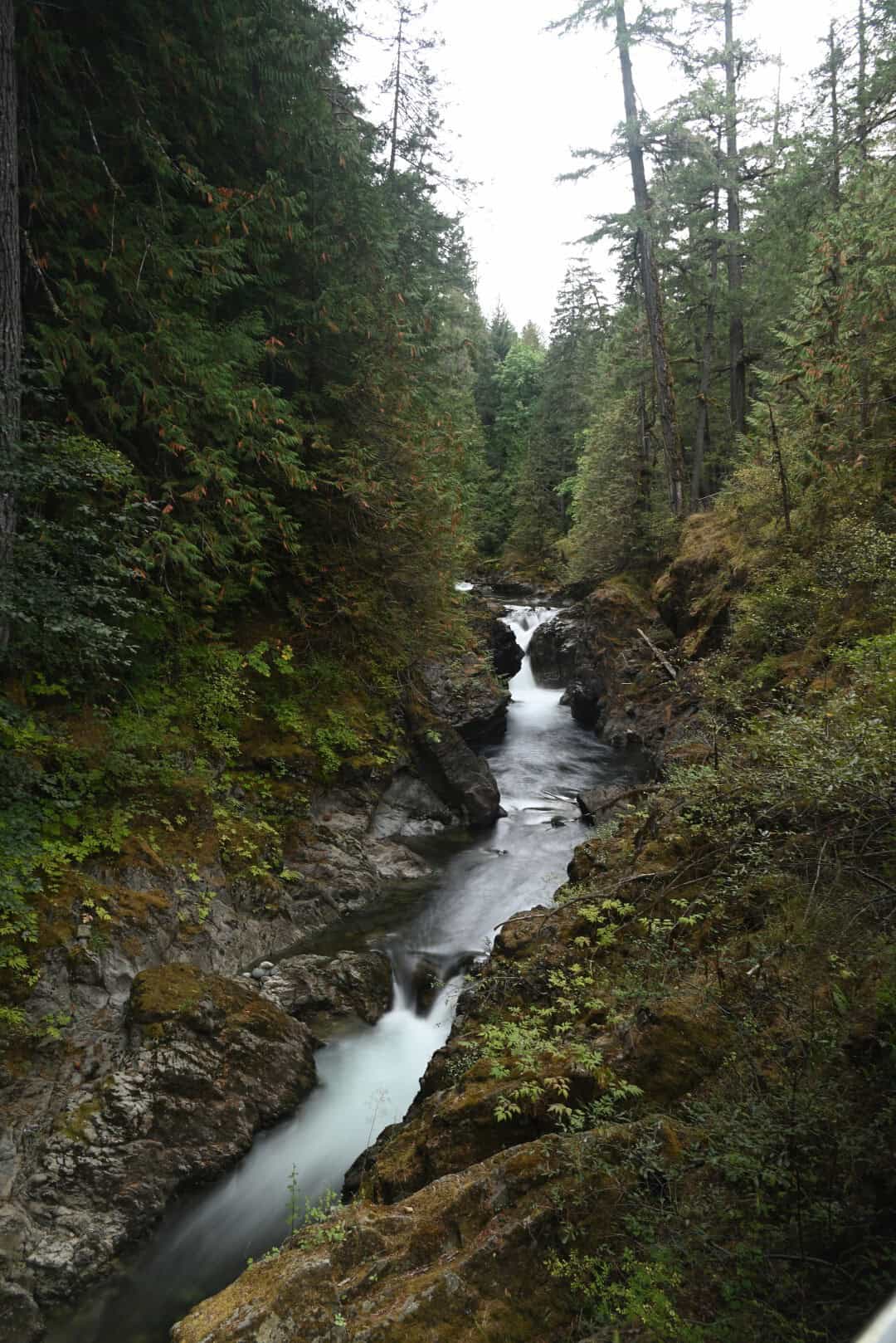
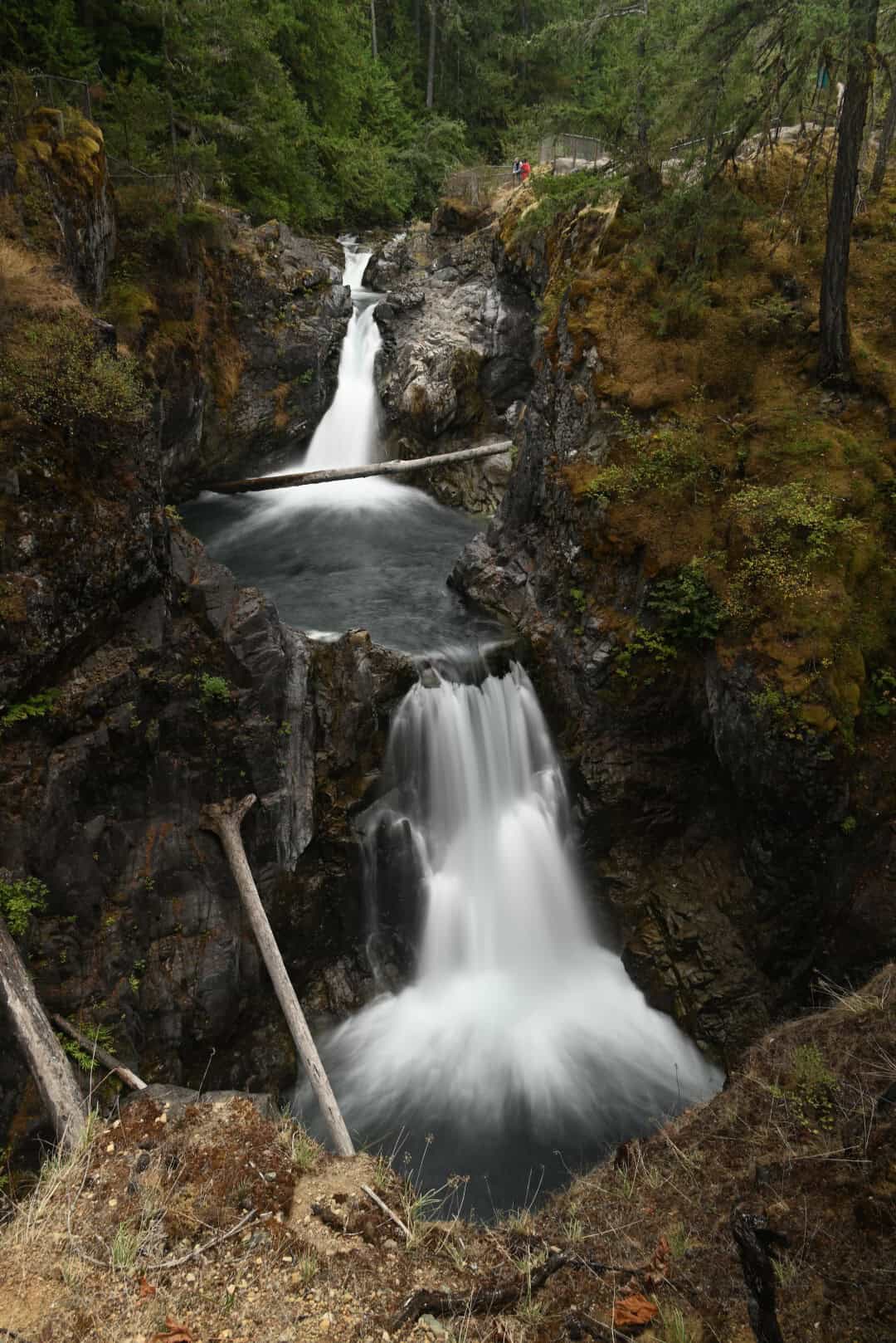
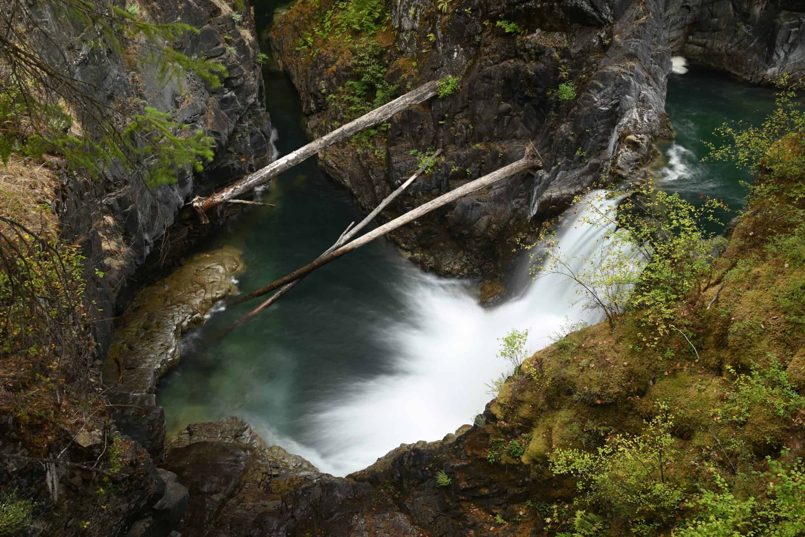
Wanting to squeeze in one final hike, we stopped at Little Qualicum Falls Provincial Park. The park offers plenty of hiking, but we chose a short loop around a narrow gorge where the Little Qualicum River cascades through a series of waterfalls that drop a total of 17 metres, with the largest fall measuring about eight metres. Walking the 1.0-kilometre accessible trail system provides nearly every vantage point of the falls, making this an excellent photography destination. In addition to the falls and narrow-cut gorge, the river contains potholes and underwater caves formed by the undercutting of the canyon walls.
Nanaimo & White Sails Brewing
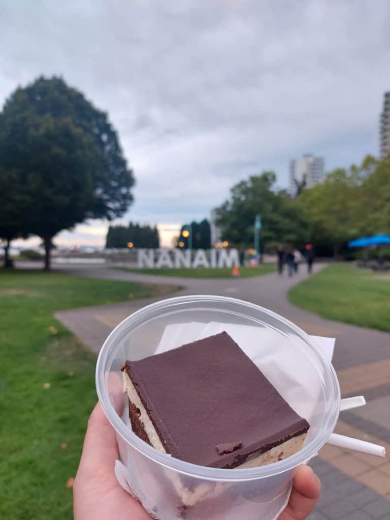
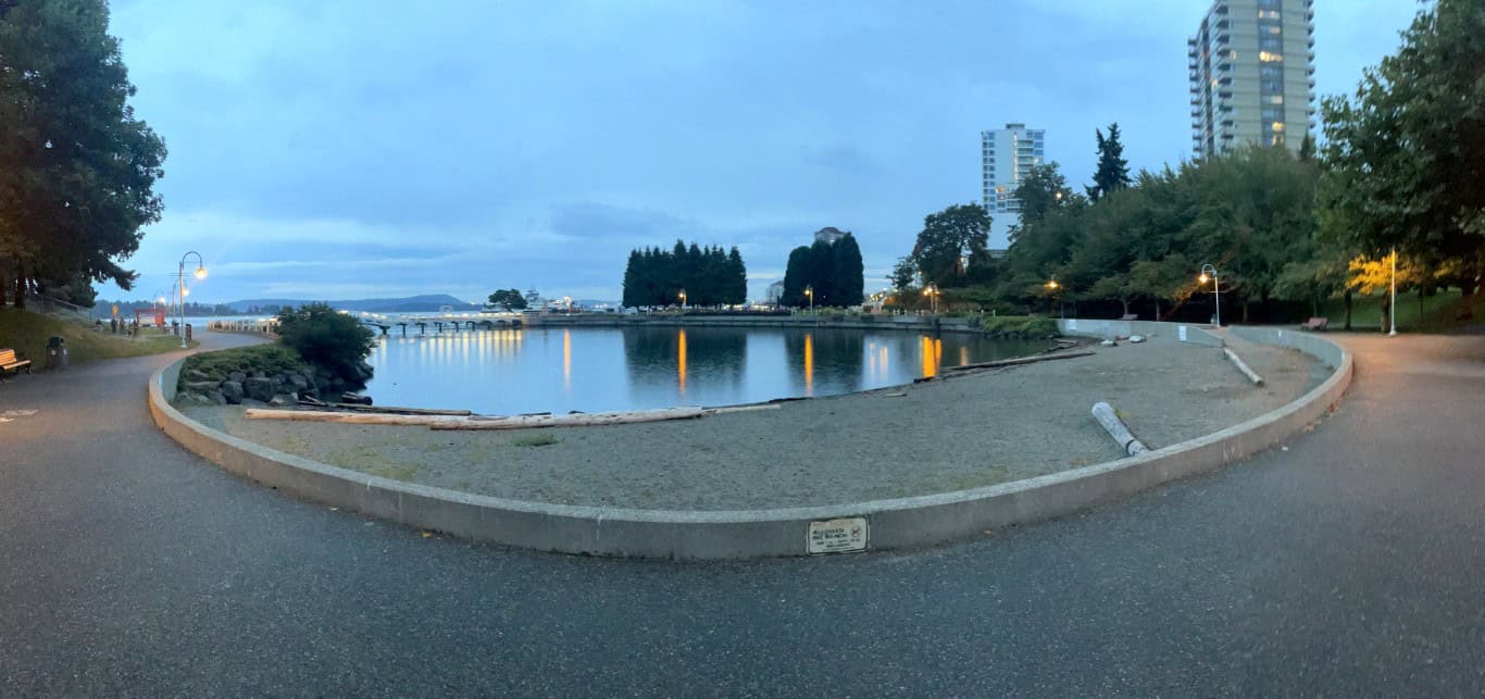
We arrived in Nanaimo with enough time to grab an authentic Nanaimo bar and make a worthwhile visit to White Sails Brewing. After three days of winding roads, forest trails, and hurried stops, it felt good to slow down and enjoy the city without a firm itinerary. By the time the sun began to set, we were eating dessert and drinking good beer along the waterfront, looking back across the harbour as the light faded.
Although our visit was brief, Nanaimo provided a fitting final stop: relaxed, scenic, and closely connected to the water that had shaped so much of our journey. With the departure time approaching, we made our way to the ferry terminal for the return to the mainland.
Leaving & Ferry to Mainland
Boarding the ferry in Nanaimo brought the road trip to a quiet close. As the vessel pulled away from Vancouver Island, the shoreline gradually receded into the evening, and the places we had visited began to feel both connected and impossibly far apart. In only three days, we had travelled from Victoria’s busy harbour to the foggy coast near Port Renfrew, crossed the island through old-growth forest and mountain passes, and reached the beaches of the Pacific Rim.
We arrived at Horseshoe Bay with the satisfaction that comes from a trip packed with discovery, along with the unmistakable feeling that we had only skimmed the surface. The ferry crossing gave us time to replay the trip’s small moments: the shock of cold river water, fog curling around a lighthouse, immense trees disappearing into the canopy, and the unexpected histories hidden behind abandoned structures and quiet trails.
Conclusion
Vancouver Island rewards curiosity. Its best-known destinations are memorable, but so are the places between them: roadside rivers, overlooked ruins, small communities, and forest trails that reveal something unexpected around the next bend. The island’s scale makes a short trip challenging, yet that same vastness gives every day a sense of movement and discovery.
Three days were nowhere near enough to experience everything Vancouver Island has to offer, but they were enough to reveal an island defined by rugged coastlines, immense forests, layered history, and seemingly endless opportunities for adventure. From fogbound lighthouses and old-growth groves to mountain rivers, Pacific beaches, and wartime ruins, each stop offered a different perspective on the landscape and the people who have lived alongside it. Just as importantly, the journey reminded us that a road trip does not need to cover every attraction to feel complete; sometimes its greatest value lies in the places it leaves unexplored. We left the ferry at Horseshoe Bay already imagining a longer return trip—one with more time for Victoria, the trails we had passed, the beaches we had only glimpsed, and the remote corners of the island still waiting beyond the road.


