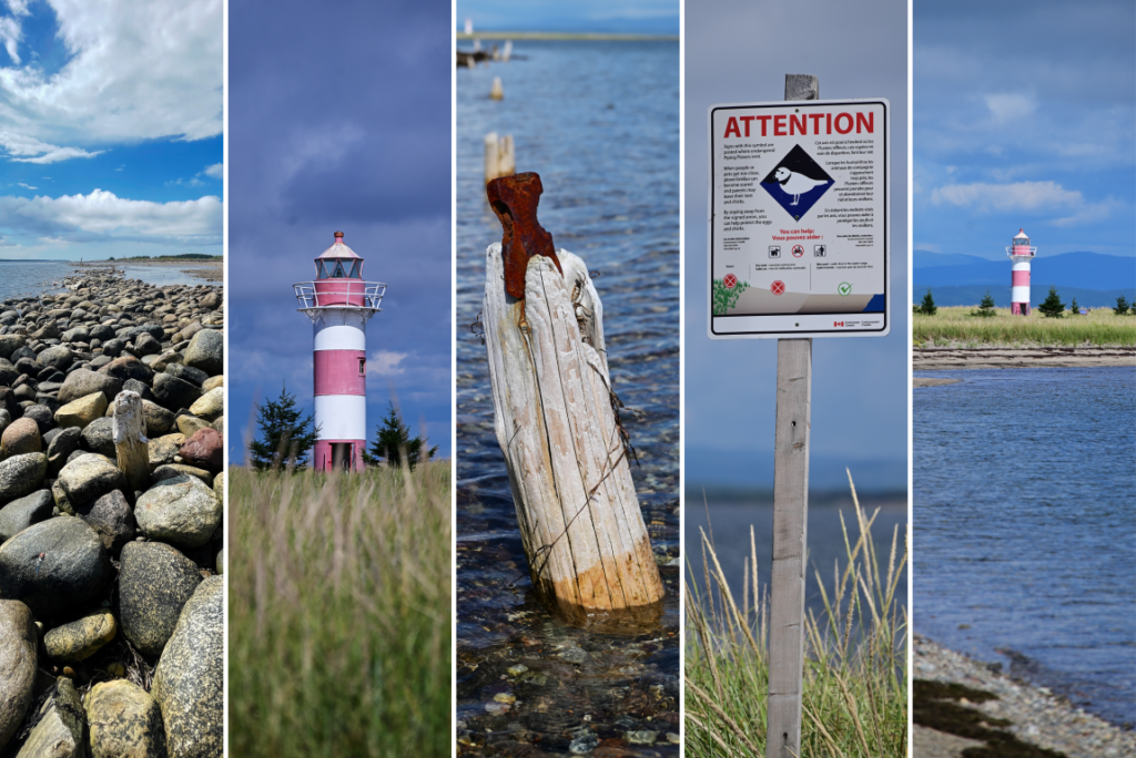
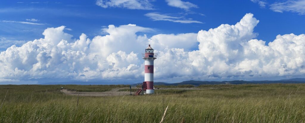
Stretching more than 13 kilometres into St. George’s Bay on Newfoundland’s west coast is a large sand spit that encloses Flat Bay. While commonly referred to as Flat Island, tides and shifting dunes have at times reconnected it to the mainland, transforming it into a peninsula. This vast sand bar formed over thousands of years from glacial sand deposits near St. David’s, Robinsons, and Journois, carried by currents into the shallow inner waters of the bay and gradually deposited. The result is a flat, elongated landscape of shifting dunes and low-lying vegetation.
Its unique position and terrain made the area both highly vulnerable to storm damage and an attractive location for a fishing and trading outpost. The Mi’kmaq had long used the bay prior to European arrival. Some accounts suggest that the first colonial visitors were pirates, notably Eric and Maria Cobham, who reportedly used the island as a hideout while preying on fishing vessels seeking shelter in the bay. By the mid-eighteenth century, seasonal settlements emerged as French and English fishermen began using the island for seasonal fisheries. Although the 1783 Treaty of Versailles allotted the west coast of Newfoundland to France for fishing while prohibiting permanent settlement, this did not prevent settlers from establishing year-round communities. By the end of the eighteenth century, a permanent settlement had been built at Sandy Point.
The nineteenth century saw a significant influx of immigrants to the island. By 1822, Scottish explorer William Cormack arrived in the community and reported that approximately 100 people were living there, making their livelihoods through fishing and hunting, with regular shipments sent to Halifax. An 1839 census recorded 112 residents, originating from England, the Channel Islands, France, and descendants from surrounding Mi’kmaq communities. With Anglican and Roman Catholic churches, stores, and a school, the community, known as Sandy Point, gradually became the center of governance not only for St. George’s Bay but for much of Newfoundland’s west coast.
At the turn of the twentieth century, the thriving community, which had grown to approximately 700 residents, began to experience significant challenges. One of the first was the construction of the Newfoundland Railway in the 1890s. The railway passed through the nearby community of St. George’s, attracting both new and established businesses seeking to benefit from the new transportation corridor. This was followed by continued struggles within the fishing industry, which had become increasingly competitive. Many residents left to pursue higher-paying construction jobs in Corner Brook beginning in 1923, when work started on the Corner Brook Pulp and Paper Mill. While some later returned, a further wave of emigration occurred in the 1940s with the establishment of the United States Air Force Base (Harmon Air Force Base) in nearby Stephenville.
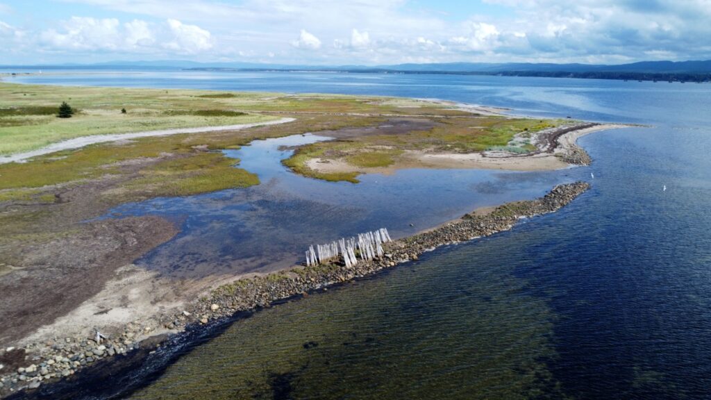
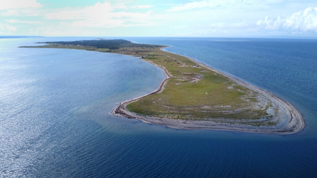
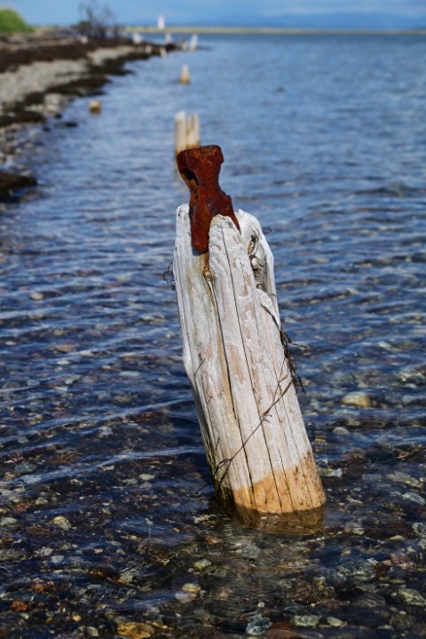
The island had long been susceptible to storm damage. Ironically, the same natural forces that deposited the sand, mud, and rock that created the island also regularly battered and reshaped it. A major storm in 1872 caused severe damage to both the island and the community, leading to a sharp population decline as residents sought to rebuild on safer ground. In 1951, amid increasing pressure for relocation, another storm breached the peninsula, which until that time had provided a reliable land route to the mainland. The breach created a wide gap, significantly limiting overland access. Although the gap has gradually infilled over time, now passable by ATVs at low tide, for residents in the 1950s this loss of access proved decisive. By 1960, there was little need for government resettlement assistance, as most residents had already relocated, and the 1966 census recorded just 14 people living on the island.
About the Area
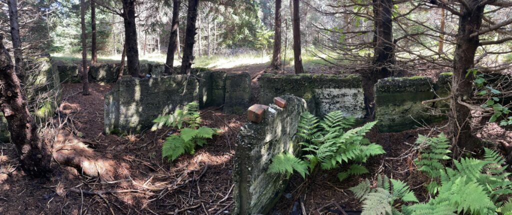
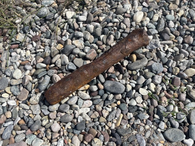
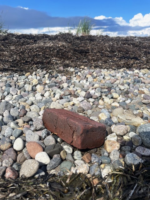
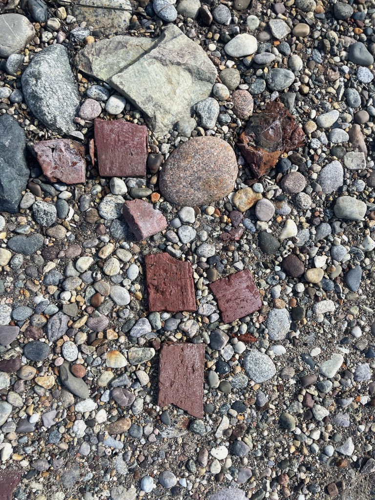
The legacy of Sandy Point is preserved in the remains of wharves and the foundations of its larger houses and churches. Two cemeteries remain on the island today and have been restored and maintained over the years by the Sandy Point Heritage Committee. The island and former townsite continue to hold deep significance for the families who once lived there, many of whom return to visit each summer. Sandy Point, while difficult to access, remains a unique place to visit due to its history and its role in the development of St. George’s Bay. In addition, the island’s sandy dunes, clear waters, and abundant wildlife make it well worth the effort to experience.
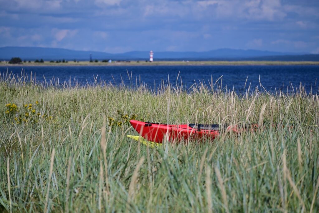
The most common approach is by kayak or small boat from St. George’s or nearby launch points, though paddlers should exercise caution, as St. George’s Bay can be rough, with strong currents and sudden storms. For those seeking a land-based route, it is possible to reach the edge of the former isthmus by ATV via nearby trails, then carry gear across the sandy terrain to the old townsite. In all cases, careful planning and close attention to weather conditions are essential.
While not officially protected, Sandy Point remains a sensitive ecological habitat for many species of wildlife. Specifically, it is a significant habitat and breeding ground for the piping plover, an endangered shorebird who frequent the point during the summer. Because of this, exercise extreme caution when visiting the point and minimize disturbance to the dunes, beaches, and surrounding waters. If you are interested in helping to persevere the island’s sensitive landscape, flora and fauna, consider supporting groups such as the Nature Conservancy of Canada (NCC) who continue to advocate for stricter environmental protection regulation and for the area to be established as an Ecological Reserve.