We started our day early, having left the house by 10:30. While this may not seem early to most, for us, it might have well been before sunrise. Nonetheless, after a quick stop for breakfast at The Mellow Mug, we hit the highway for the 1.5-hour drive to our start point. We started our paddle at the trailhead to Old Mill Trail near the community of Meadowvale. Once here, we dropped our gear and kayaks and lugged it all about 100 meters away to the banks of the river. While the launch point was recommended by Annapolis County’s Annapolis River Guide, as we would learn on this trip, the launch points on this river can be steep, muddy, and difficult.
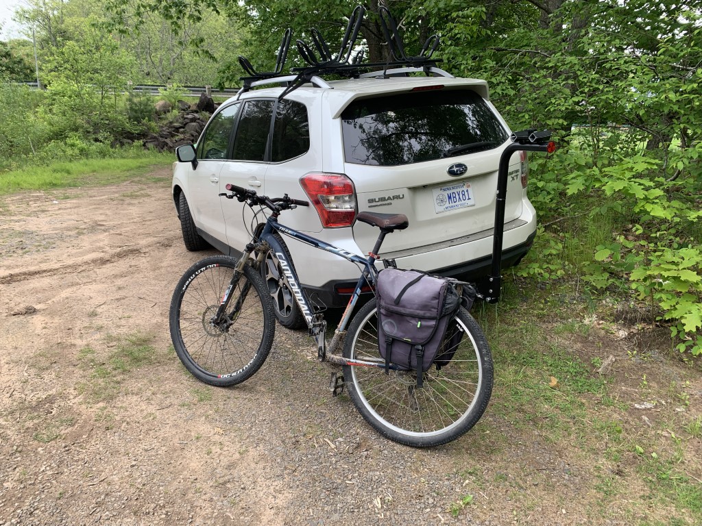
Once all our gear was along the river, I placed Lindsay in a hammock with a beer, hopped in the car, and drove to our endpoint. The downside of rivers is, and always will be, getting back to your launch once you reach your destination. While two cars are the ideal way of doing this, while in Ontario, we came to settle on dropping our stuff at the launch point, driving to the finish, and then cycling back to the launch. From here, we would lock our bikes on with the plan of returning to pick them up once we reach the car, now conveniently placed at the end. In case you are wondering, yes, we have tried this in reverse, that is, leaving the bike ride to the end, but given our track record for always ending our paddles after dark, we learned our lesson. Also, there is nothing worst than spending 6 hours on a river and then having to cycle 20+ kilometers at the end of the day.
We were unsure of how far we would want or be able to go, but after seeing the speed of the river, we decided to choose a bridge in the community of Brickton to leave the car, giving us the goal of paddling about 20 kilometers. Lucky for me, the former Windsor and Annapolis Railway line turned ATV/Bicycle trail relatively follows the course of the river making for a nice trail to follow back to the start point.
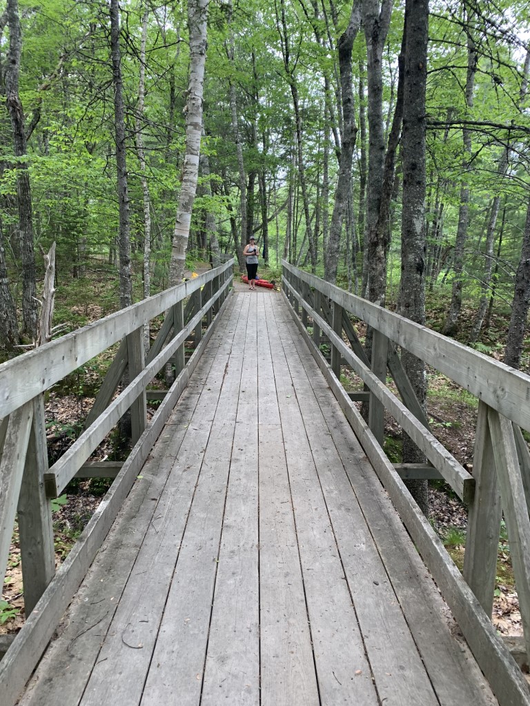
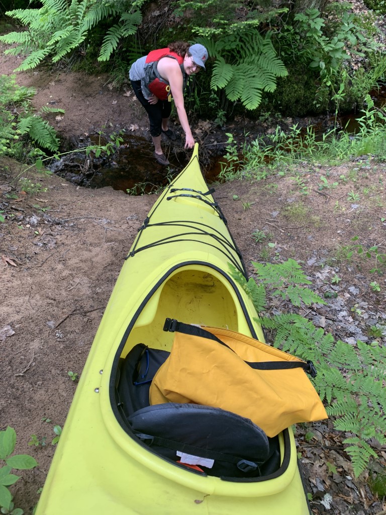
It took a little more than an hour from the time we first arrived at the launch point to the time I finally made it back and was ready to go. We loaded our kayaks on the trail and then dragged them down a small muddy stream which we assessed to be the easiest path down the river bank into the river. Pushing off, one at a time, we were finally on the river.
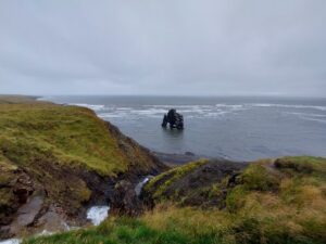
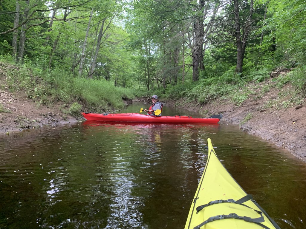
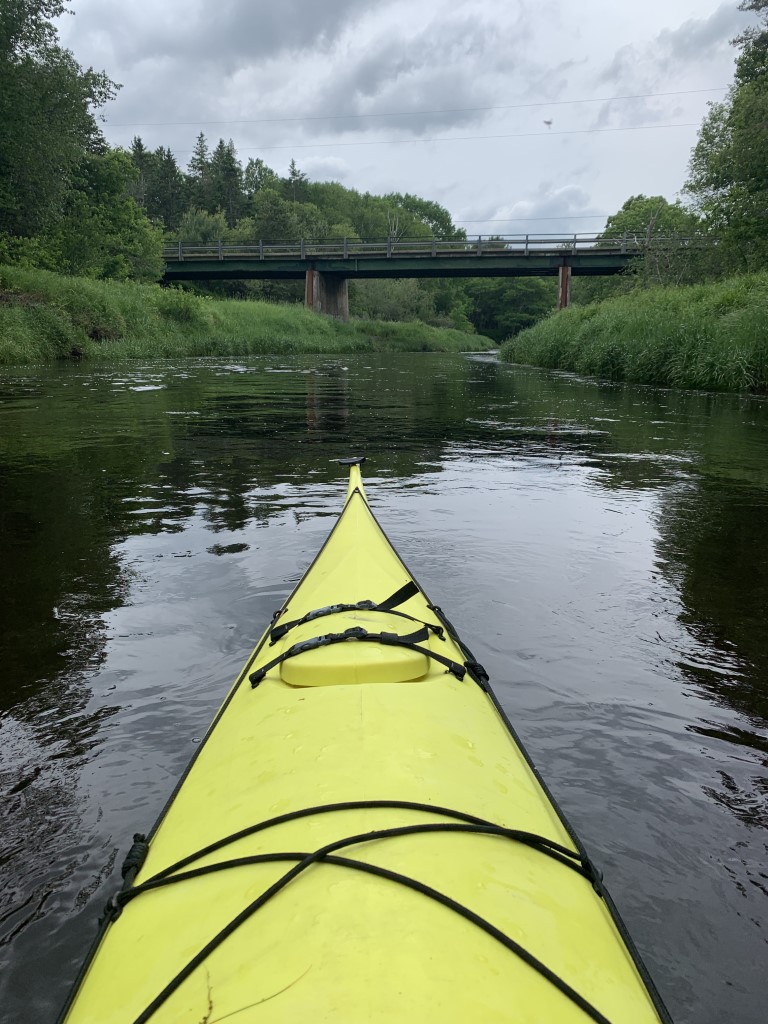
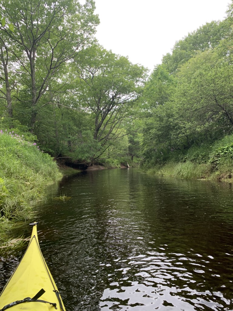
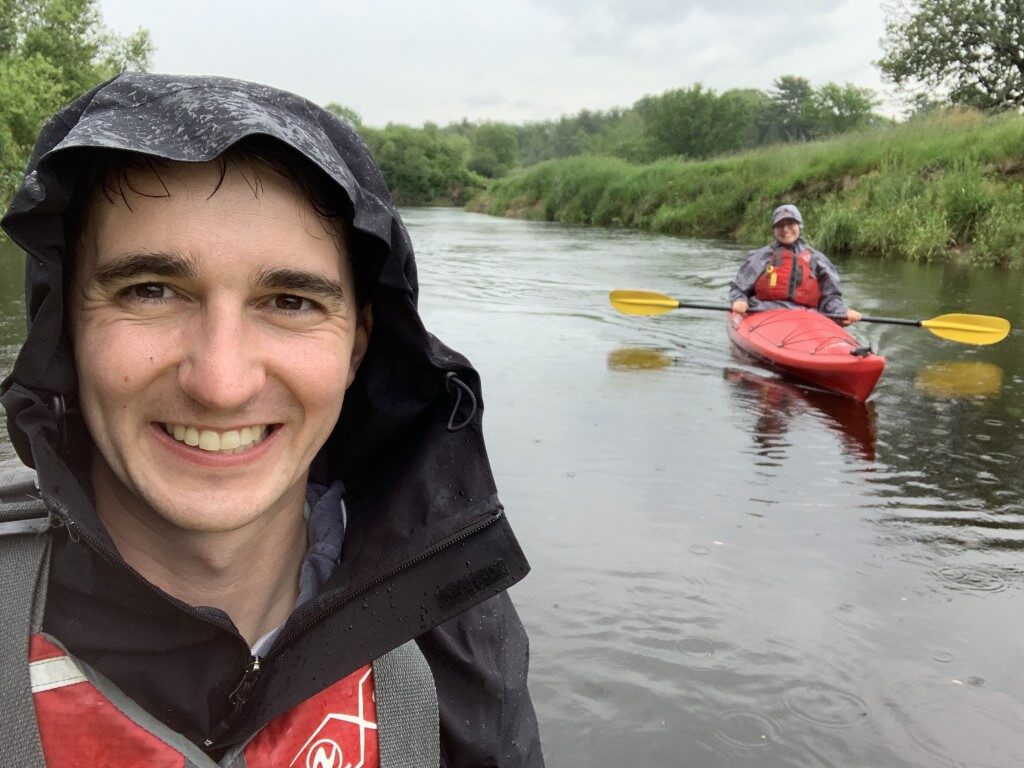
To put it simply, the Annapolis River is a stunning river to paddle. While there are no major rapids or shoots, the river flows at a decent speed, given its location amongst flat farmland and forest. A perfect river to try out our new (to us) and much longer kayaks! Despite running through the heart of the Annapolis Valley, the river is confined by trees and farmland. Every now and again, a house, bridge, or building would poke out of the forest and remind us we were never too far from people, but in between these signs of civilization were dense forest and wetlands which were home to beavers, nesting geese, and at least two or three eagles looking to feed on the large schools of fish swimming upstream.
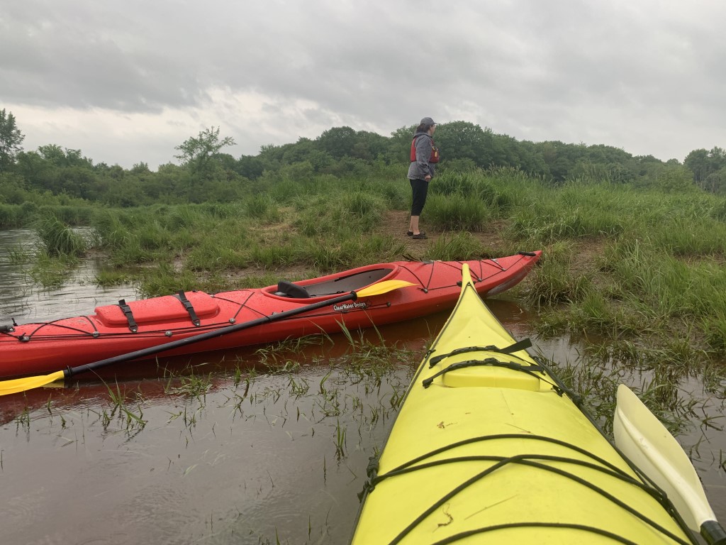
As the river twisted and turned, we found a few small streams and inlets that gave us a chance to explore a little bit. However, aside from these small streams, the river was relatively confined to steep, muddy riverbanks, making landing anywhere more difficult than we expected. We took advantage of one of these streams, which is also the Bayard Road launch point near Wilmot. Setting up a hammock, we ate a sandwich we bought earlier the day and had a beverage from a nearby maker of beverages and, realizing we were running out of light, set off once again.
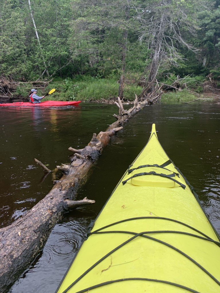
After leaving Wilmot and passing Jeff’s Hideaway Campground, we entered the most winding section of the river. From Jeff’s Hideaway Campground to the Middleton launch point, it is just 2 kilometers as the crow flies, but to travel this distance by kayak, was over 5 kilometers. But this section quickly proved to be one of the best sections of the river, filled with fast-flowing turns, sandy beaches, lots of wildlife, and even a few down trees and collapsed river bank to avoid. I will say that the only trouble we had on the river, as far as obstructions go, was a log that spanned the width of the river on a turn just past the campground. While our longer, more stable kayak traversed it with little trouble, our smaller one took a bit of wiggling to get up and over the log.
As you approach Middleton, you reach the river’s confluence with the Nictaux River. This major tributary can be explored for some distance, but given we were now quickly running out of sunlight and with rain now falling, we briefly contemplated landing here, and after stubbornly agreeing to keep going, we passed the Middleton and bunkered down for the remaining 8-kilometer stretch.
The rush to get back to the car only got worse when we thought we might have heard some thunder prompting me o check the radar, and sure enough, a major storm was pushing in and so the race was on. After stopping to take some pictures of a feeding eagle, we briskly continued paddling until just before complete darkness, we arrived at the car parked at the Mt. Hanley Road bridge in Brickton.
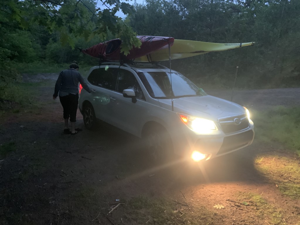
As mentioned, despite this being a designated river access point, it is not an easy access point. The river is deep at the bridge, and the steep, muddy river banks only add to the difficulty. After I almost rolled trying to get out (with my right arm going almost entirely in the water) I managed to exist, haul my kayak up, and then help Lindsay land. But once again, as I returned to bring gear to the car, I slipped on the muddy bank and slid almost to my waist in water before stopping myself from going any further.
After drying off and packing away our gear (which was soaked from rain), we lifted the kayaks onto the car, and just as we were tying them down, the sky lit up as the next major thunderstorm rolled through. From this first bolt of lightning, we continued to see flashes and hear thunder until the following morning, around lunchtime.
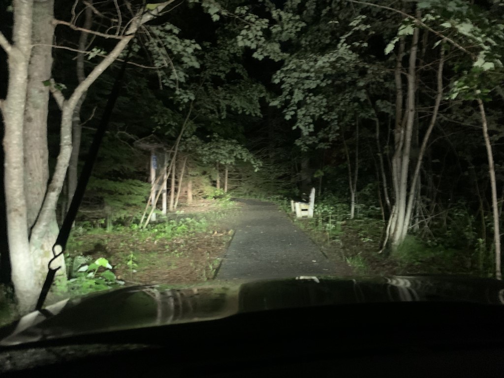
Aside from occasional flash that would light up the sky, it was now pitch dark outside, and so we made haste back to Halifax. We had two stops before arriving back at home, however. The first was to pick up my bicycle, which was still locked to a tree near the launch point, and the second was to get pizza and garlic fingers from the quaint and delicious Big Mike Pizza in New Minas.
After arriving home to the great relief of Koda, who had been home alone all day, we cracked open a beer, ate the rest of our pizza, and fell asleep on the couch to the constant flashes of lightning and rumbles of thunder.
Our Notes for Next Time:
- While the river is a great opportunity for both novice and experienced kayakers, the river’s access points are difficult to use.
What We Used to Plan Our Trip:
Annapolis County’s Route 19 (Annapolis River) Guide: https://annapoliscounty.ca/images/stories/Recreation/CAC_RoutesMay2016/Route%2019%20-%20Annapolis%20River.pdf