Ghost towns capture the imagination because they raise an unsettling question: what would make an entire community leave its homes and way of life? An abandoned, lost, or resettled community might contain nothing more than an overgrown forest and the faint remnants of concrete foundations marking former houses, churches, or post offices. Other sites still hold the hollow shells of houses, relics of past industries, and pieces of infrastructure such as water lines, roads, and dams, all of which once supported the community’s well-being and prosperity.
As of 2026, Newfoundland and Labrador is home to just over 550,000 people living in 274 incorporated communities. Relative to its population, the province has the second-highest number of incorporated communities in Canada. Although its population is only a fraction of that of its Maritime neighbours, its ratio of incorporated communities to population is three, four, or even five times higher.
But Newfoundland isn’t like its neighbours, or any other province in Canada. It has the longest coastline of any Canadian province, at approximately 29,000 kilometres (and do not get me started on the coastline paradox). Combined with its easternmost location at the edge of North America, this extensive, deeply indented coast gave European settlers access to countless sheltered inlets, coves, and harbours. Over time, settlement spread along nearly every suitable stretch of shore, and the future province came to contain an estimated 1,500 settlements.
Politics, natural and human-made incidents, and economies of scale slowly reduced this number through a combination of amalgamation and resettlement, leaving Newfoundland with an extraordinary concentration of abandoned settlements and a landscape deeply marked by vanished communities.
residents to leave their homes for more connected centers.
On This Page
Other Links
Go More In Depth
Why does Newfoundland have so many abandoned settlements?
What causes a group of people to abandon their homes and community? Sometimes resources run out. A community might undergo a dramatic period of growth and prosperity as new industries are established, only to decline just as quickly when the resource is depleted.
Other times, change comes slowly. As people leave the community for new jobs and opportunities, the population may gradually dwindle until it disappears altogether.
Sometimes the land around a town may change drastically, forcing people to relocate. This may happen through human-influenced changes, such as a hydroelectric development that inundates a community, or because the natural environment makes a particular location uninhabitable.
Most notably in Newfoundland and Labrador, policy and power have forced communities to be abandoned. Such was the case with Newfoundland’s resettlement programs, through which tens of thousands of Newfoundlanders were forced from their communities between 1950 and 1975.
But what is an abandoned or lost community?
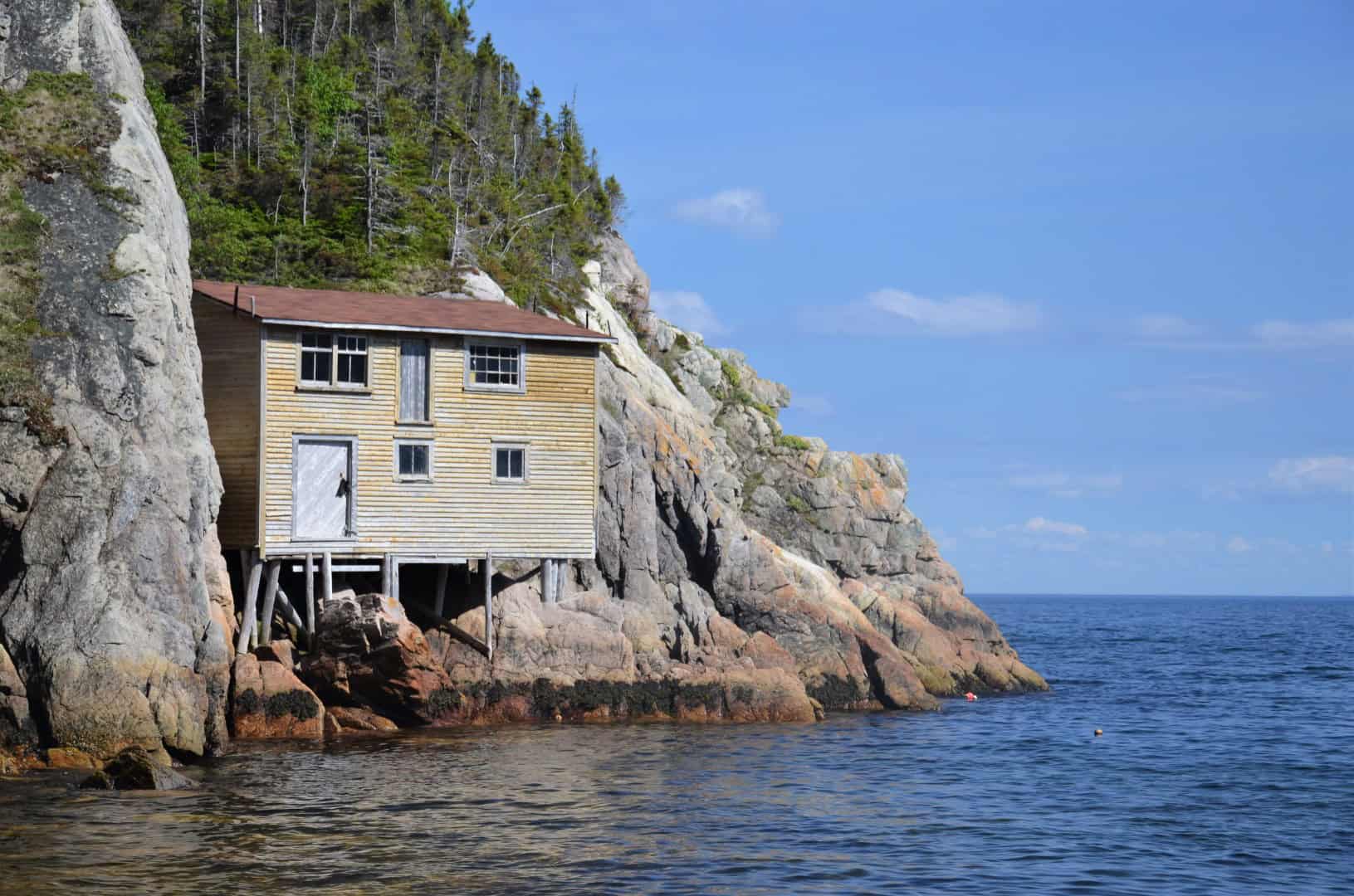
It is easy to classify a community such as Little Bay Islands, Newfoundland’s most recently resettled community, as “abandoned” because its land has officially been transferred back to the Crown and the town is no longer recognized by the provincial government. After resettlement in 2019, permanent residents moved to other communities. Yet many still return to the place they once called home, and on any given weekend Little Bay Islands can be alive with people staying in their former houses. The community is therefore abandoned in an administrative sense, but not necessarily in memory, identity, or seasonal use.
Another question arises when asking what constitutes a community. During the First World War and, more notably, the Second World War, what was then the independent British Dominion of Newfoundland was “invaded” by Canada, Britain, and the United States. The bases they established were town’s in every way, with their own community centers, shops, theaters, hospitals, power plants, and could have a population from a few hundred to 20,000. This was the case at the ⚲ Argentia Naval Air Station and Fort McAndrew. Although perhaps better considered an abandoned military or industrial complex, it was once a vibrant city that became home to countless men and women serving during the war.
A Part of Our Heritage
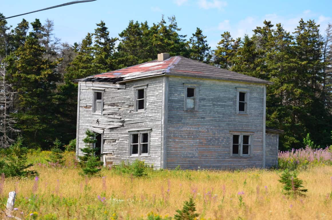
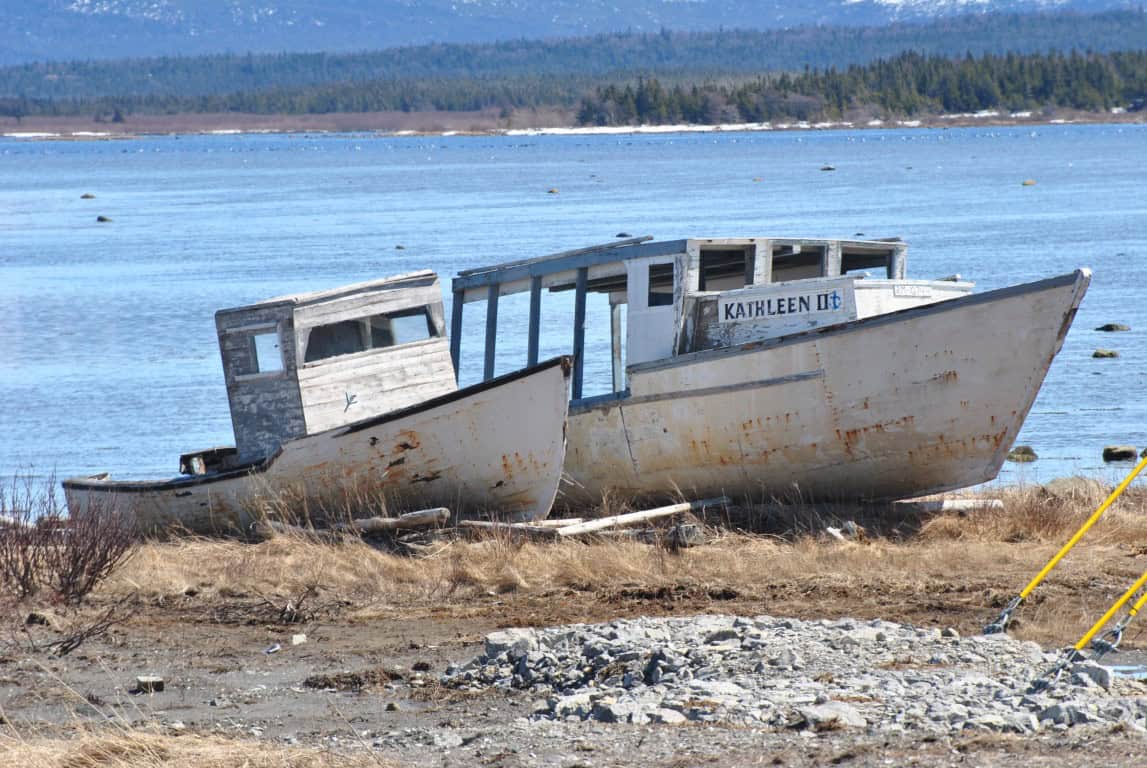
Nonetheless, Newfoundland now contains a collection of abandoned, lost, and resettled communities. Some are no more than grassy fields on the shores of Placentia Bay, while others are collections of hollow houses and ghostly streets. What they have in common, however, is that they continue to act as time capsules of a past era and as records of the unwritten histories they hold. Many Newfoundlanders continue to call these places home, despite not having lived there for a generation or two. This connection exemplifies the intrinsic value these places hold and the deep connection many Newfoundlanders have with abandoned communities.
More on the Newfoundland Resettlement Program
For centuries, Newfoundland and Labrador’s economy and way of life were shaped by the fishery, which supported hundreds of small, isolated communities scattered along the province’s extensive coastline. However, during the mid-20th century, changing economic conditions, declining employment opportunities, and the growing demand for accessible healthcare, schools, transportation, and other services prompted increasing numbers of residents to leave these outports for larger centres.
Under Premier Joey Smallwood, the provincial government introduced a series of resettlement programs beginning in 1954, later expanded through federal-provincial partnerships, offering financial assistance to families willing to relocate
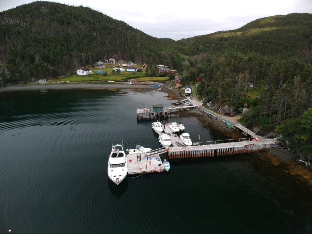
By the mid-1970s, more than 28,000 people had moved, resulting in the abandonment of approximately 307 communities. Although resettlement provided many families with improved access to services and new economic opportunities, it also brought the loss of generations-old communities, local traditions, and deeply rooted connections to the land and sea.
Today, many former settlements survive only as empty fields, overgrown foundations, abandoned wells, and deteriorating churches, while others retain seasonal homes and cemeteries visited by former residents and their descendants. These scattered remnants offer a glimpse into Newfoundland and Labrador’s settlement history and serve as a reminder of the profound social and cultural changes brought about by resettlement.
Explore More
Dive deeper into the history, culture, and wonder of Newfoundland’s ghost towns. We’ve had the privilege of exploring many of the island’s resettled communities, abandoned settlements, and forgotten places, each with its own story to tell. From once-thriving outports shaped by the fishery to isolated communities reclaimed by the wilderness, these places offer a glimpse into the lives, traditions, and hardships of the people who once called them home.
Discover the stories behind Newfoundland’s lost settlements, learn why communities were abandoned or resettled, and explore the remnants of a way of life that helped shape the province’s identity. Through our travels, photography, and historical research, we aim to preserve the memory of these places and the people who lived there, ensuring their stories are not forgotten.

Sandy Point
St. Georges Bay
Extending more than 13 kilometres into St. George’s Bay on Newfoundland’s west coast, Sandy Point was once one of the region’s most important settlements and a centre of fishing, trade, and local government. By the 1950s, the combination of economic decline, storm damage, and increasingly difficult access had accelerated Sandy Point’s abandonment. Most residents had relocated by 1960, and the 1966 census recorded only 14 people remaining. Today, the former settlement is largely reclaimed by vegetation and shifting coastal sands, with remnants of …

Woods Island
Bay of Islands
Located in Newfoundland’s Bay of Islands, Woods Island was once a thriving fishing community of more than 500 residents, serving as an important hub for fishers and seafarers along the west coast. Following the collapse of the herring fishery in 1962, the last permanent residents resettled in the nearby towns of Benoit’s Cove and Lark Harbour. Today, Woods Island is largely abandoned as a permanent settlement, although its former communities of Woods Island Harbour, East End, Seal Cove, and Tibbo’s Cove continue to attract seasonal visitors…

Argentia
Placentia Bay
Before the establishment of the United States Naval Air Station during the Second World War, Argentia was a small fishing community of approximately 500 residents situated along the shores of Placentia Bay. In 1940, the United States selected the peninsula for a major military installation, and approximately 750 residents of Argentia, Marquise, and surrounding communities were required to relocate to make way for the base. Construction began soon afterward, transforming the rural landscape into a sprawling military complex of runways, hangars, docks, barracks …
La Manche Provincial Park
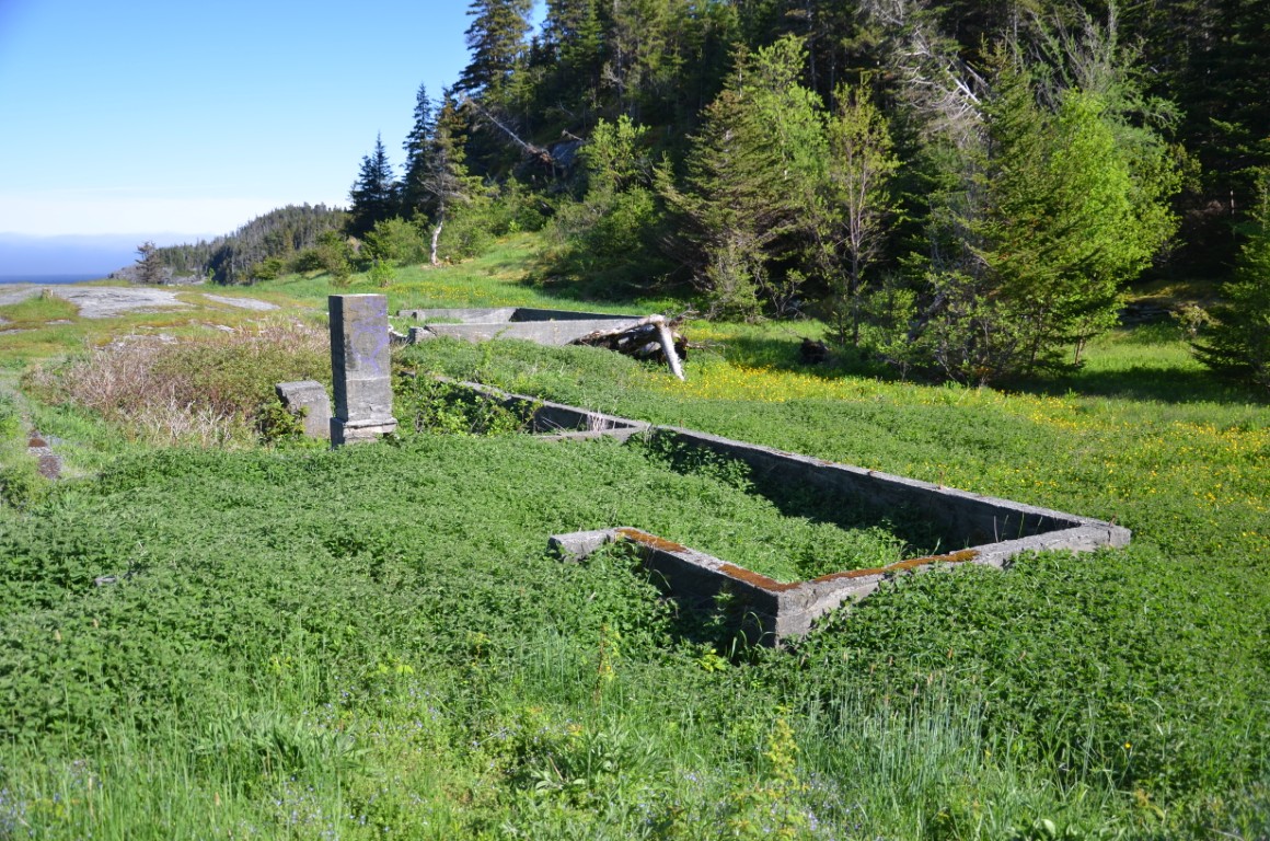
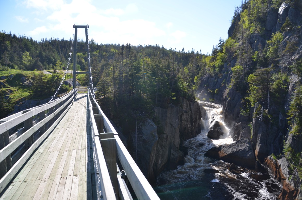
Located along the Irish Loop (Route 10) between Tors Cove and Cape Broyle, La Manche was once a small fishing community tucked into a narrow coastal harbour on the eastern Avalon Peninsula. The name, French for “the sleeve,” is believed to have been given by French sailors in the 16th or 17th century, possibly as the cove’s sheltered waters provided refuge from English ships raiding Ferryland and St. John’s. The community was first settled around 1840 by George Melvin and gradually grew to include 13 houses, a Roman Catholic church, stores, fishing flakes, and a small school built in 1919. By 1949, La Manche had reached its peak population of 54 residents, but by 1961 only 25 remained, as the challenges of maintaining road access and the difficulties of life in the isolated settlement placed increasing pressure on families to relocate.
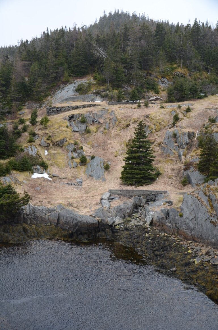
On January 25, 1966, a powerful winter storm struck the eastern coast of Newfoundland, with high tides and waves destroying boats, fishing flakes, stores, and the original suspension bridge that connected both sides of the harbour. The destruction ultimately contributed to the community’s resettlement, and over time, most of the remaining wooden structures disappeared, leaving behind scattered foundations, stone walls, and steps as reminders of the former village. Today, the site forms part of the East Coast Trail and can be reached by a short hike from Fire Exit Road, just south of the turnoff to La Manche Provincial Park. A new suspension bridge, constructed in 1999 by the East Coast Trail Association, has become one of the area’s defining features, spanning the harbour where a once-thriving fishing community stood.
La Manche (Placentia Bay, near Southern Harbour)
Located approximately 4 km south of Southern Harbour on the north shore of Placentia Bay, La Manche was once a small fishing community whose history became closely tied to the discovery of lead ore in the mid-19th century. Although the exact date of its establishment is unknown, the first census to record the area, in 1833, identified 20 people living in La Manche and nearby Little Harbour East. The community initially relied on the inshore fishery, but in 1855 prospectors surveying potential routes for the trans-Atlantic telegraph cable discovered a deposit of galena, a lead-bearing mineral. By 1857, Ripley and Company had begun mining operations, bringing new employment and prosperity to the area. The mine transformed La Manche into a small mining settlement, and by 1874 its population had grown to 142 residents, most of whom depended on the industry for their livelihoods.
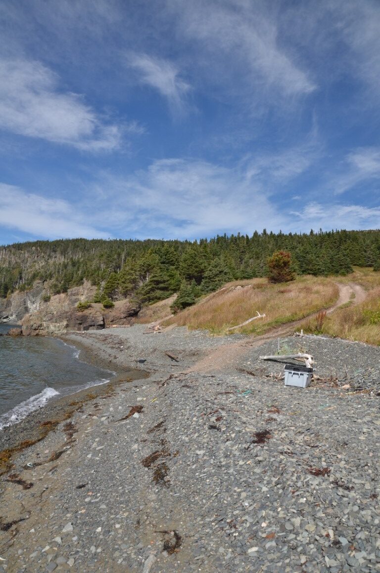
The mine closed in 1873, although it reopened intermittently over the following decades. Without a stable mining industry, the population gradually declined, and residents were resettled during the 1950s and 1960s. By the 1966 census, only one person remained. Today, little evidence of the former community survives beyond a grassy hillside overlooking the bay, with the nearby abandoned lead mine serving as a reminder of the industry that once sustained the settlement. Despite the disappearance of its buildings, the area remains notable for its rugged coastline, sea arches, and secluded landscapes along Placentia Bay. La Manche is a largely forgotten chapter in Newfoundland’s mining and resettlement history, illustrating how the fortunes of small coastal communities were often shaped by industries that proved unable to sustain them over the long term.
Spencer’s Cove
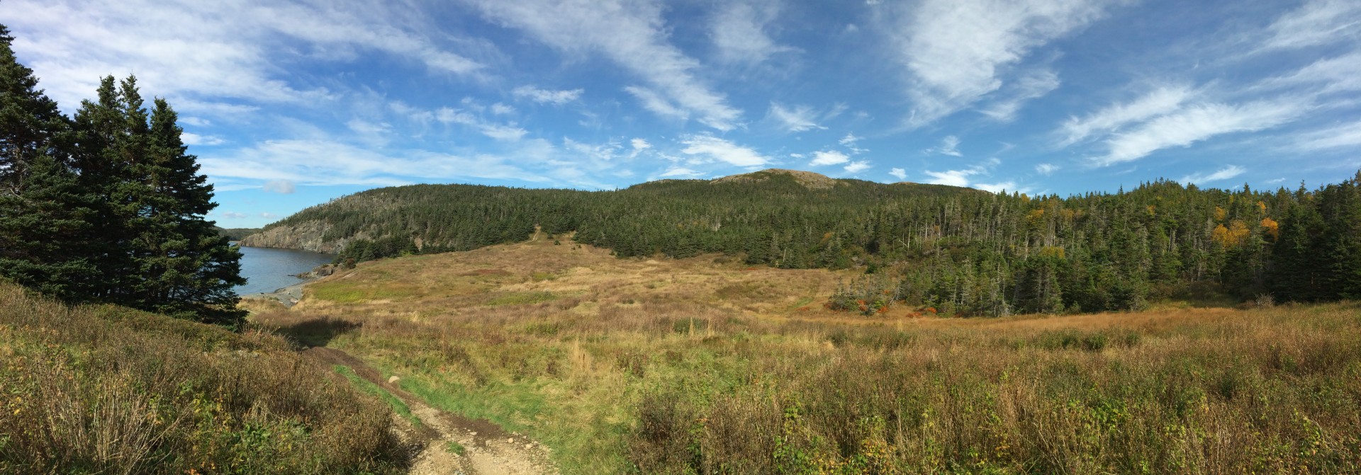
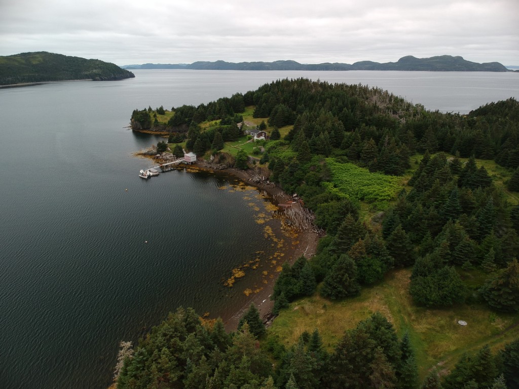
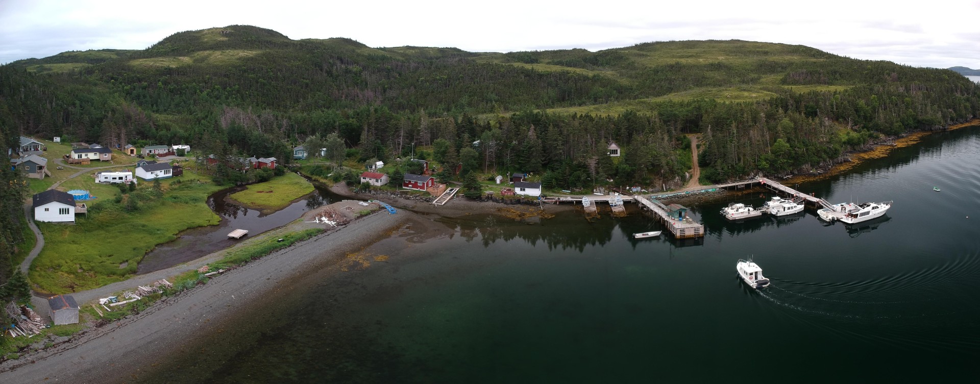
Located on the second-largest island in Placentia Bay, Spencer’s Cove was established as an inshore fishing community by the mid-19th century, although archaeological evidence suggests that the sheltered cove had earlier been used as a seasonal hunting camp by the Dorset Paleo-Eskimos. With 87 residents recorded in the 1857 census, the community later became an important centre for lobster trading, particularly after Alberto Wareham established a mercantile business that grew into a major lobster exporter and supplier to the inshore fishery. Following a fire that destroyed Wareham’s premises in the early 1960s, the business relocated to nearby Arnold’s Cove, contributing to Spencer’s Cove’s complete resettlement by 1966. Today, the tranquil, grass-lined cove retains traces of its former community, including concrete pathways, house foundations, and remnants of the Wareham premises, while cabins and summer homes continue to connect former residents and their descendants to the site.

Hidden Connection: Shipwreck of the S.S. Ilex
Located on the rock shores of Fermeuse Harbour lies the rusting hull of the S.S. Ilex; a 694 ton vessel owned by Wareham and Sons of Spencers Cove in Placentia Bay. Read more here …
Coney Arm
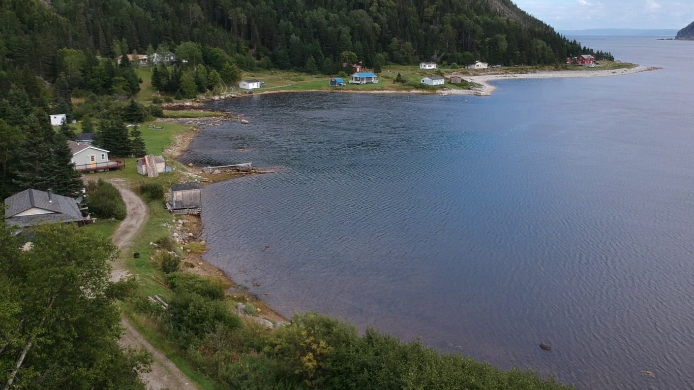
Coney Arm is a former fishing community nestled among the Long Range Mountains on the western shore of White Bay, north of Jackson’s Arm. Its sheltered harbour and beach-lined shores supported a small population that peaked at 56 residents in the early 20th century. However, the community’s remote location and limited access to nearby trading posts and essential services contributed to its complete resettlement by 1954. The later construction of a road serving the Cat Arm Hydroelectric Plant improved access to the harbour, allowing the area to develop into a seasonal cabin community. Although no longer a permanent settlement, Coney Arm retains its historic landscape of forested slopes and sheltered shoreline, overlooked by Eastern Brook Falls, which cascades approximately 60 metres down the valley into White Bay.

Big Brook
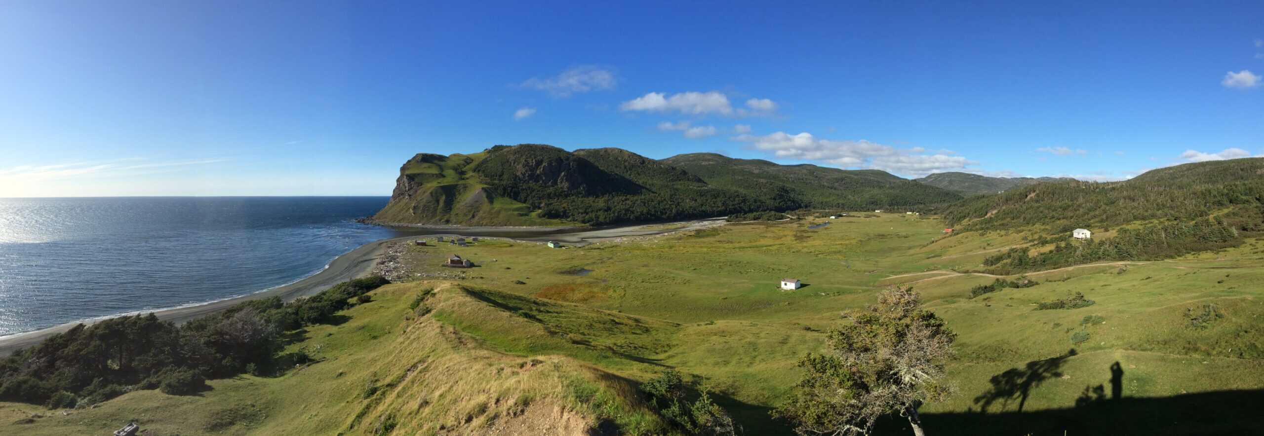
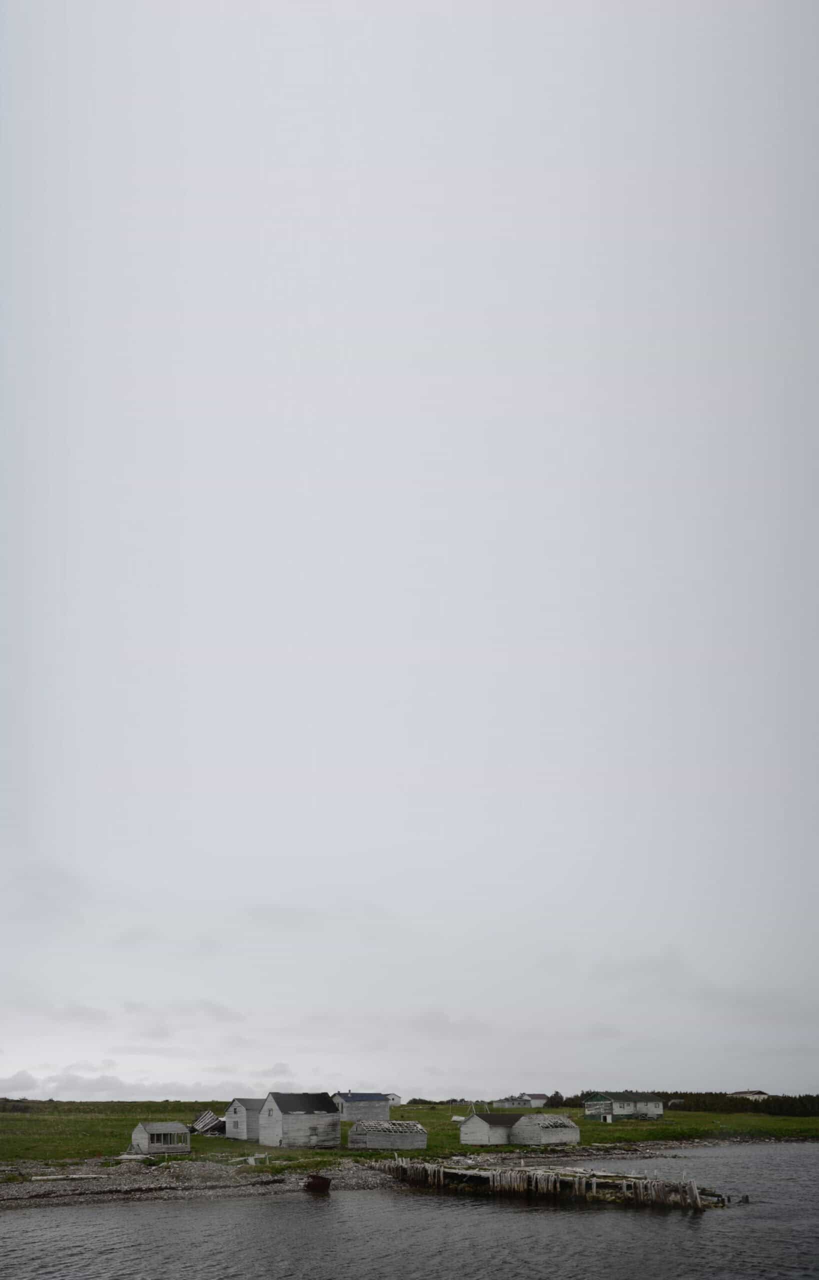
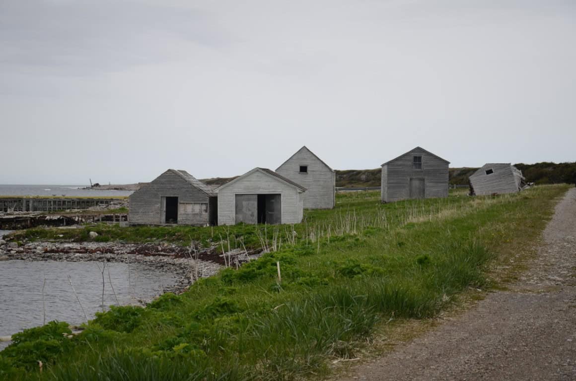
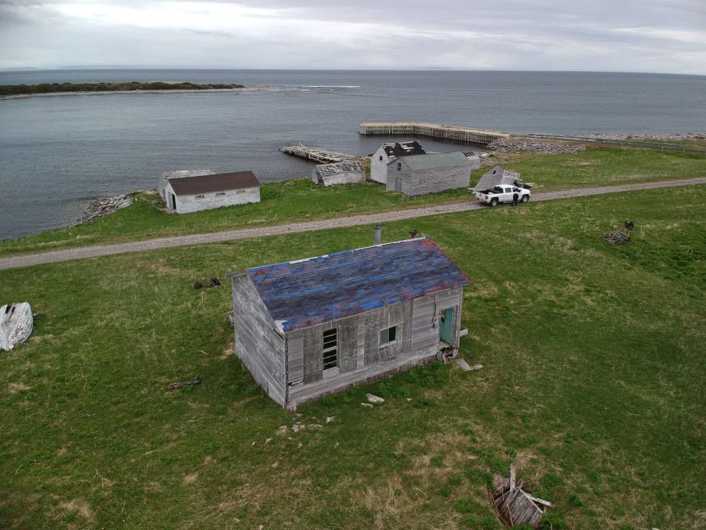
Big Brook is an abandoned fishing community nestled in a forested cove on the northeastern shore of Newfoundland’s Northern Peninsula, near the mouth of the brook from which it takes its name. First recorded in the 1874 census, the settlement consisted of just nine residents from two families. Its proximity to fishing grounds in Labrador and the Strait of Belle Isle was offset by its remote location and harsh weather. The construction of a highway connecting St. Anthony with the rest of the province in 1970 did little to stimulate growth, and as the population continued to decline, the provincial government resettled the community’s 10 remaining permanent residents in 2004. Since then, the access road has fallen into disrepair, and the removal of the bridge across Big Brook has further restricted access. Although the road remained in relatively good condition as of 2021, vehicle access is now possible only from nearby Cook’s Harbour to the north.
Stanleyville and Lomond
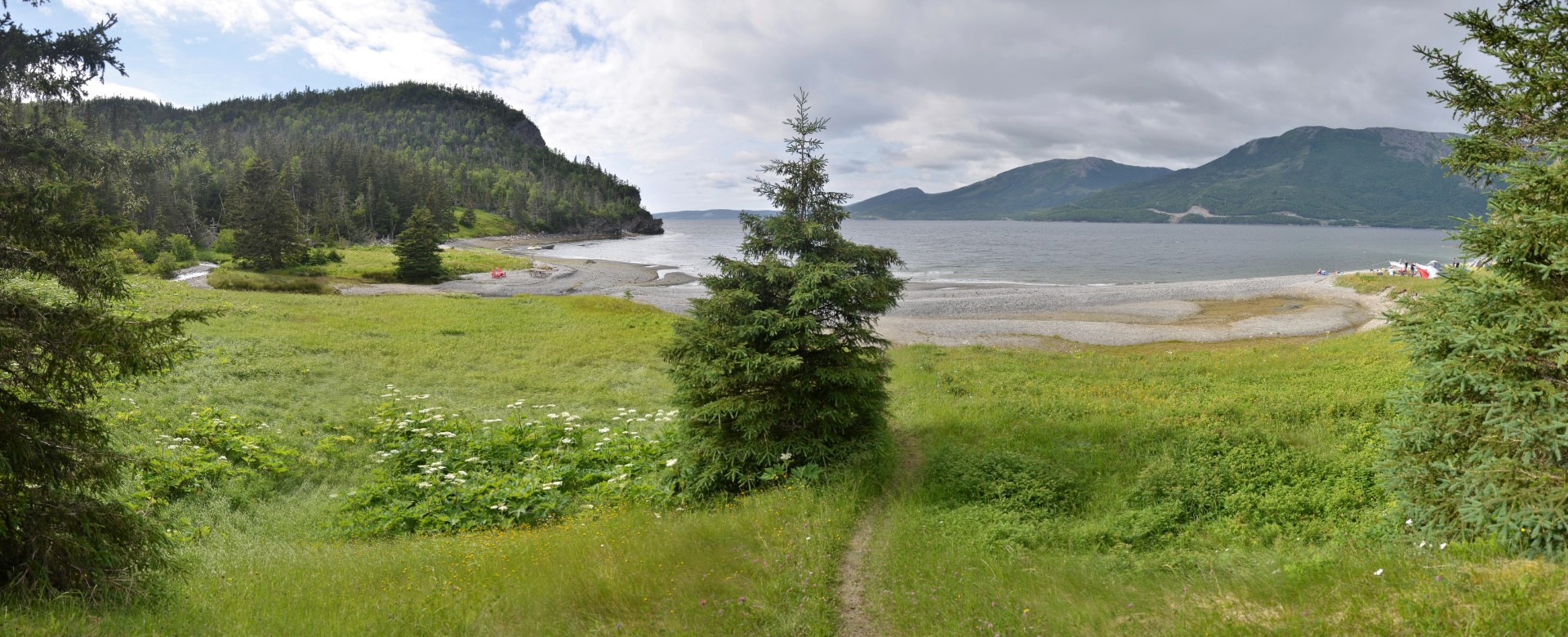
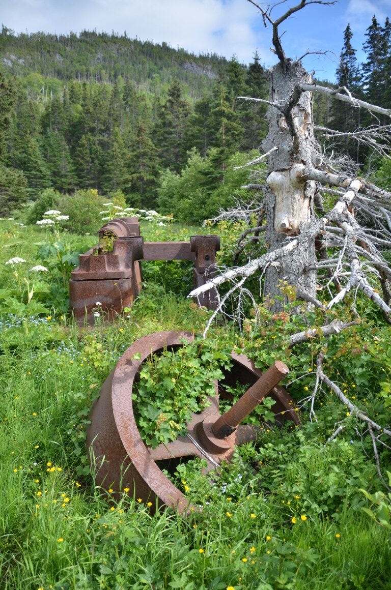
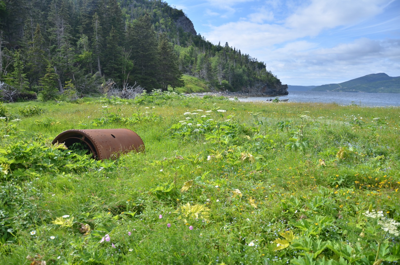
Located along the East Arm of Bonne Bay, Stanleyville and Lomond were logging communities that emerged during Newfoundland’s late-19th- and early-20th-century timber industry. Stanleyville, originally known as Paynes Cove, developed around a steam-powered sawmill established by John and Scobie McKie in the early 1890s, reaching a population of 77 by 1911 before logging operations shifted to nearby Murphy’s Cove. Renamed Lomond in 1921, the latter community grew into a major logging and milling centre under the St. Lawrence Timber, Pulp, and Steamship Company, employing approximately 400 people at its peak in the 1940s and exporting timber to Canada and Europe. The mill closed in the 1950s due to economic and operational challenges, and the establishment of Gros Morne National Park in 1973 led to the relocation of Lomond’s remaining 14 families. Today, Lomond serves as a campground and day-use park, where concrete walls and mill foundations remain among the forest, while nearby Stanleyville is accessible by a challenging trail and retains rusting machinery from its former sawmill. Although both communities have been abandoned, their industrial remnants and spectacular surroundings beneath the Long Range Mountains preserve traces of Newfoundland’s logging history.